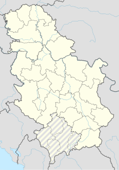
Photos • Location
You can help expand this article with text translated from
the corresponding article in Serbian. (September 2011) Click [show] for important translation instructions.
|
Vrtiglav
Вртиглав | |
|---|---|
 Church of the Assembly of St. Archangel Gabriel in Vrtiglav | |
| Coordinates: 44°16′24″N 20°06′06″E / 44.27333°N 20.10167°E | |
| Country | |
| District | Kolubara District |
| Municipality | Mionica |
| Population (2002)
[1] | |
| • Total | 414 |
| Time zone | UTC+1 ( CET) |
| • Summer ( DST) | UTC+2 ( CEST) |
Vrtiglav is a village situated in Mionica municipality in Serbia. [2]
- ^ "Popis stanovništva, domaćinstava i stanova 2011. u Republici Srbiji" (PDF).
- ^ "Institut national d'études démographique (INED)". Archived from the original on 2014-07-02. Retrieved 2016-06-26.
You can help expand this article with text translated from
the corresponding article in Serbian. (September 2011) Click [show] for important translation instructions.
|
Vrtiglav
Вртиглав | |
|---|---|
 Church of the Assembly of St. Archangel Gabriel in Vrtiglav | |
| Coordinates: 44°16′24″N 20°06′06″E / 44.27333°N 20.10167°E | |
| Country | |
| District | Kolubara District |
| Municipality | Mionica |
| Population (2002)
[1] | |
| • Total | 414 |
| Time zone | UTC+1 ( CET) |
| • Summer ( DST) | UTC+2 ( CEST) |
Vrtiglav is a village situated in Mionica municipality in Serbia. [2]
- ^ "Popis stanovništva, domaćinstava i stanova 2011. u Republici Srbiji" (PDF).
- ^ "Institut national d'études démographique (INED)". Archived from the original on 2014-07-02. Retrieved 2016-06-26.
