Photos • Location
| Monte Batalha | |
|---|---|
 Monte Batalha as seen from the Maio Saltpans of the southwest | |
| Highest point | |
| Elevation | 294 m (965 ft) |
| Listing | List of mountains in Cape Verde |
| Coordinates | 15°12′04″N 23°11′12″W / 15.20111°N 23.18667°W |
| Geography | |
island of
Maio,
Cape Verde | |
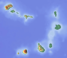
Monte Batalha is a mountain in the island of Maio in Cape Verde. Its elevation is 294 m. [1] It is situated 4 km southeast of Calheta and 8 km northeast of the island capital Porto Inglês.
See also
References
- ^ Aisling Irwin; Colum Wilson (2011). Cape Verde. Bradt Travel Guides. p. 200. ISBN 978-1-84162-350-4.
| Monte Batalha | |
|---|---|
 Monte Batalha as seen from the Maio Saltpans of the southwest | |
| Highest point | |
| Elevation | 294 m (965 ft) |
| Listing | List of mountains in Cape Verde |
| Coordinates | 15°12′04″N 23°11′12″W / 15.20111°N 23.18667°W |
| Geography | |
island of
Maio,
Cape Verde | |
Monte Batalha is a mountain in the island of Maio in Cape Verde. Its elevation is 294 m. [1] It is situated 4 km southeast of Calheta and 8 km northeast of the island capital Porto Inglês.
See also
References
- ^ Aisling Irwin; Colum Wilson (2011). Cape Verde. Bradt Travel Guides. p. 200. ISBN 978-1-84162-350-4.

