
Original file (SVG file, nominally 1,283 × 1,384 pixels, file size: 184 KB)
| This is a file from the
Wikimedia Commons. Information from its
description page there is shown below. Commons is a freely licensed media file repository. You can help. |
Summary
| Camera location |
| View this and other nearby images on: OpenStreetMap |
|
|---|
| Description |
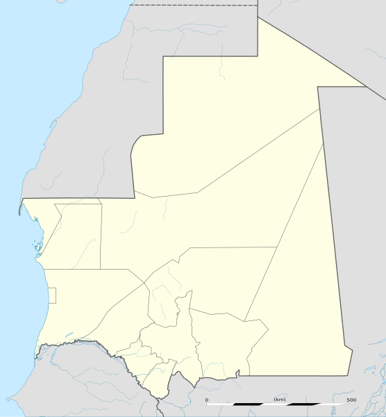
English: Blank administrative map of
Mauritania, for geo-location purposes.
Français : Carte administrative vierge de la
Mauritanie, destinée à la géolocalisation. Scale: 1:4,400,000 (precision: 1,100 m)
Geographic limits of the map:
|
||
| Date | |||
| Source |
Own work
|
||
| Author | Eric Gaba ( Sting - fr:Sting) | ||
| Permission ( Reusing this file) |
|
||
| Other versions |
|

Licensing
- You are free:
- to share – to copy, distribute and transmit the work
- to remix – to adapt the work
- Under the following conditions:
- attribution – You must give appropriate credit, provide a link to the license, and indicate if changes were made. You may do so in any reasonable manner, but not in any way that suggests the licensor endorses you or your use.
- share alike – If you remix, transform, or build upon the material, you must distribute your contributions under the same or compatible license as the original.

|
Permission is granted to copy, distribute and/or modify this document under the terms of the GNU Free Documentation License, Version 1.2 or any later version published by the Free Software Foundation; with no Invariant Sections, no Front-Cover Texts, and no Back-Cover Texts. A copy of the license is included in the section entitled GNU Free Documentation License. |
File history
Click on a date/time to view the file as it appeared at that time.
| Date/Time | Thumbnail | Dimensions | User | Comment | |
|---|---|---|---|---|---|
| current | 13:49, 23 November 2009 |
| 1,283 × 1,384 (184 KB) | Sting | == {{int:filedesc}} == {{Location|21|00|00|N|10|57|00|W|scale:7000000}} <br/> {{Information |Description={{en|Blank administrative map of Mauritania, for geo-location purposes.}} {{fr|Carte administrative vierge de la [[:fr:Mauritanie|M |
File usage
More than 100 pages use this file. The following list shows the first 100 pages that use this file only. A full list is available.
- Abbaye Airport
- Adel Bagrou
- Aere Mbar
- Aghchorguitt
- Ain Ben Tili
- Aioun el Atrouss Airport
- Akjoujt
- Akjoujt Airport
- Akreijit
- Aleg
- Amourj
- Aoudaghost
- Aoueinat Zbel
- Aouelloul crater
- Aoujeft
- Arafat, Mauritania
- Arguin
- Arr, Mauritania
- Atar International Airport
- Ayoun el Atrous
- Azgueilem Tiyab
- Bababé
- Banc d'Arguin National Park
- Bareina
- Bassiknou
- Benichab
- Bir Moghrein
- Boghé
- Bougadoum
- Boutilimit
- Boutilimit Airport
- Cansado
- Casbah des Ait Maouine
- Chegga
- Chinguetti
- Choum
- Dar-Naim
- Dar El Barka
- Diade
- Dionaba
- El Aioun, Mauritania
- El Mamghar
- El Mina, Mauritania
- Fassala
- Fderik Airport
- Fderîck
- Iouik
- Jraif
- Kataouane
- Kaédi
- Kaédi Airport
- Keur-Macene
- Kiffa
- Kiffa Airport
- Kobenni
- Koumbi Saleh
- Ksar, Mauritania
- Ksar el Barka
- Ksar el Khali
- La Batterie
- Magta-Lahjar
- Mbagne
- Mederdra
- Mejaouda
- Moudjeria
- Ndiago, Mauritania
- Nebaghia
- Niabina
- Nouadhibou
- Nouadhibou International Airport
- Nouakchott International Airport
- Néma
- Néma Airport
- Ouad Naga
- Ouadane
- Oualata
- Ould Birem
- R' Kiz
- Rachid, Mauritania
- Ras Nouadhibou
- Riyad, Mauritania
- Rosso
- Sebkha, Mauritania
- Sori Malé
- Sélibaby
- Sélibaby Airport
- Tamchakett
- Tanoudert
- Tazadit Airport
- Tevragh-Zeina
- Teyarett
- Tichit
- Tichitt Airport
- Tidjikja
- Tidjikja Airport
- Tiguent
- Tikattane
- Timbédra
- Togba
- Toujouonine
View more links to this file.
Global file usage
The following other wikis use this file:
- Usage on af.wikipedia.org
- Usage on am.wikipedia.org
- Usage on an.wikipedia.org
- Usage on ar.wikipedia.org
- Usage on ast.wikipedia.org
- Usage on azb.wikipedia.org
- Usage on az.wikipedia.org
- Usage on ba.wikipedia.org
- Usage on be-tarask.wikipedia.org
- Usage on be.wikipedia.org
- Usage on bg.wikipedia.org
- Usage on bn.wikipedia.org
View more global usage of this file.
Metadata
Original file (SVG file, nominally 1,283 × 1,384 pixels, file size: 184 KB)
| This is a file from the
Wikimedia Commons. Information from its
description page there is shown below. Commons is a freely licensed media file repository. You can help. |
Summary
| Camera location |
| View this and other nearby images on: OpenStreetMap |
|
|---|
| Description |
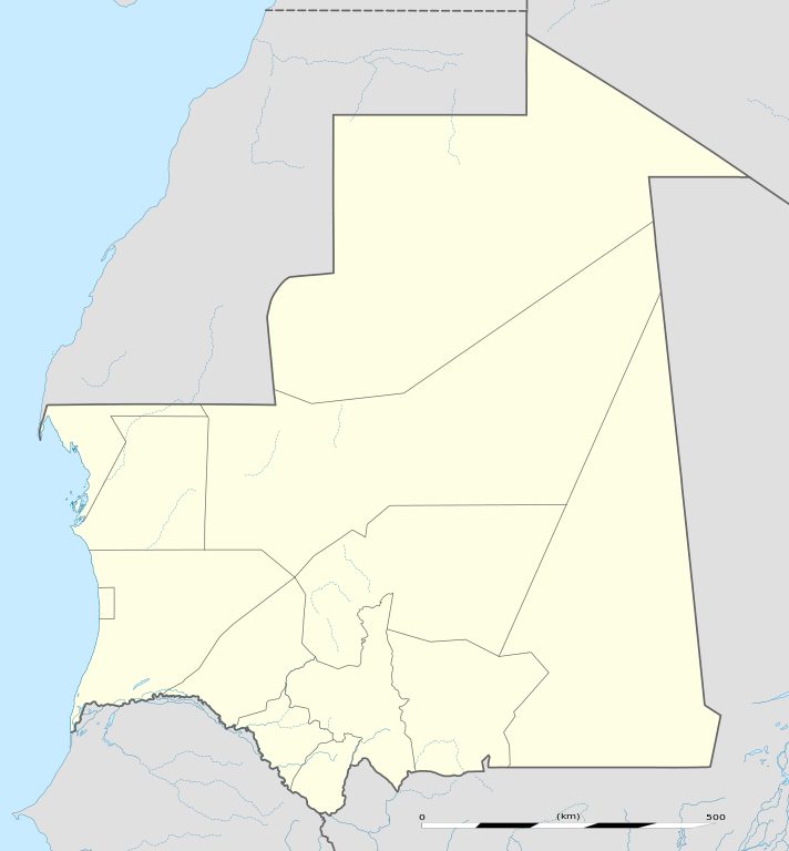
English: Blank administrative map of
Mauritania, for geo-location purposes.
Français : Carte administrative vierge de la
Mauritanie, destinée à la géolocalisation. Scale: 1:4,400,000 (precision: 1,100 m)
Geographic limits of the map:
|
||
| Date | |||
| Source |
Own work
|
||
| Author | Eric Gaba ( Sting - fr:Sting) | ||
| Permission ( Reusing this file) |
|
||
| Other versions |
|
Licensing
- You are free:
- to share – to copy, distribute and transmit the work
- to remix – to adapt the work
- Under the following conditions:
- attribution – You must give appropriate credit, provide a link to the license, and indicate if changes were made. You may do so in any reasonable manner, but not in any way that suggests the licensor endorses you or your use.
- share alike – If you remix, transform, or build upon the material, you must distribute your contributions under the same or compatible license as the original.
|
|
Permission is granted to copy, distribute and/or modify this document under the terms of the GNU Free Documentation License, Version 1.2 or any later version published by the Free Software Foundation; with no Invariant Sections, no Front-Cover Texts, and no Back-Cover Texts. A copy of the license is included in the section entitled GNU Free Documentation License. |
File history
Click on a date/time to view the file as it appeared at that time.
| Date/Time | Thumbnail | Dimensions | User | Comment | |
|---|---|---|---|---|---|
| current | 13:49, 23 November 2009 |
| 1,283 × 1,384 (184 KB) | Sting | == {{int:filedesc}} == {{Location|21|00|00|N|10|57|00|W|scale:7000000}} <br/> {{Information |Description={{en|Blank administrative map of Mauritania, for geo-location purposes.}} {{fr|Carte administrative vierge de la [[:fr:Mauritanie|M |
File usage
More than 100 pages use this file. The following list shows the first 100 pages that use this file only. A full list is available.
- Abbaye Airport
- Adel Bagrou
- Aere Mbar
- Aghchorguitt
- Ain Ben Tili
- Aioun el Atrouss Airport
- Akjoujt
- Akjoujt Airport
- Akreijit
- Aleg
- Amourj
- Aoudaghost
- Aoueinat Zbel
- Aouelloul crater
- Aoujeft
- Arafat, Mauritania
- Arguin
- Arr, Mauritania
- Atar International Airport
- Ayoun el Atrous
- Azgueilem Tiyab
- Bababé
- Banc d'Arguin National Park
- Bareina
- Bassiknou
- Benichab
- Bir Moghrein
- Boghé
- Bougadoum
- Boutilimit
- Boutilimit Airport
- Cansado
- Casbah des Ait Maouine
- Chegga
- Chinguetti
- Choum
- Dar-Naim
- Dar El Barka
- Diade
- Dionaba
- El Aioun, Mauritania
- El Mamghar
- El Mina, Mauritania
- Fassala
- Fderik Airport
- Fderîck
- Iouik
- Jraif
- Kataouane
- Kaédi
- Kaédi Airport
- Keur-Macene
- Kiffa
- Kiffa Airport
- Kobenni
- Koumbi Saleh
- Ksar, Mauritania
- Ksar el Barka
- Ksar el Khali
- La Batterie
- Magta-Lahjar
- Mbagne
- Mederdra
- Mejaouda
- Moudjeria
- Ndiago, Mauritania
- Nebaghia
- Niabina
- Nouadhibou
- Nouadhibou International Airport
- Nouakchott International Airport
- Néma
- Néma Airport
- Ouad Naga
- Ouadane
- Oualata
- Ould Birem
- R' Kiz
- Rachid, Mauritania
- Ras Nouadhibou
- Riyad, Mauritania
- Rosso
- Sebkha, Mauritania
- Sori Malé
- Sélibaby
- Sélibaby Airport
- Tamchakett
- Tanoudert
- Tazadit Airport
- Tevragh-Zeina
- Teyarett
- Tichit
- Tichitt Airport
- Tidjikja
- Tidjikja Airport
- Tiguent
- Tikattane
- Timbédra
- Togba
- Toujouonine
View more links to this file.
Global file usage
The following other wikis use this file:
- Usage on af.wikipedia.org
- Usage on am.wikipedia.org
- Usage on an.wikipedia.org
- Usage on ar.wikipedia.org
- Usage on ast.wikipedia.org
- Usage on azb.wikipedia.org
- Usage on az.wikipedia.org
- Usage on ba.wikipedia.org
- Usage on be-tarask.wikipedia.org
- Usage on be.wikipedia.org
- Usage on bg.wikipedia.org
- Usage on bn.wikipedia.org
View more global usage of this file.