Photos • Location
Aere Mbar | |
|---|---|
Commune and town | |
| Coordinates: 16°25′0″N 14°4′2″W / 16.41667°N 14.06722°W | |
| Country | |
| Region | Brakna |
| Government | |
| • Mayor | Moussa Hamady Sy |
| Population (2000) | |
| • Total | 13,722 |
| Time zone | UTC+0 ( GMT) |
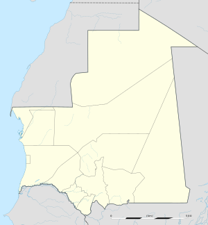
Aere Mbar is a town and commune in the Brakna Region of south-western Mauritania. [1] It is located near the border with Senegal.
In 2000, it had a population of 13,722. [2]
- ^ "Collectivités urbaines à vocation agricole, pastorale ou agropastorale". République Islamique de Mauritanie:Communes de Mauritanie. Archived from the original on November 12, 2007. Retrieved January 14, 2009.
- ^ "Statistiques Demographiques: Résultats du RGPH 2000 des Wilayas". République Islamique de Mauritanie. Archived from the original on February 3, 2010. Retrieved January 14, 2009.
