Photos • Location
Tiguent | |
|---|---|
Commune and town | |
| Coordinates: 17°15′N 16°0′W / 17.250°N 16.000°W | |
| Country | |
| Region | Trarza |
| Area | |
| • Total | 1,041 sq mi (2,696 km2) |
| Population (2013) | |
| • Total | 12,579 |
| • Density | 12/sq mi (4.7/km2) |
| Time zone | UTC+0 ( GMT) |
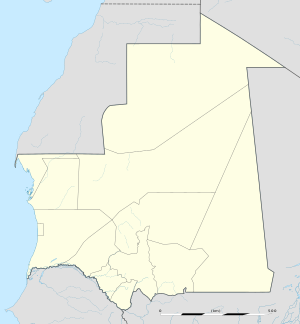
Tiguent is a small town and commune in south-western Mauritania, not far from the coast. In 2013, it had a population of 12,579. [1]
Transport
It is proposed to be served by a new station on railway to serve the phosphate mines at Kaedi.
See also
References
- ^ "Mauritania: Administrative Division (Departments and Communes) - Population Statistics, Charts and Map". www.citypopulation.de. Retrieved 2024-02-16.
17°15′00″N 16°00′00″W / 17.25000°N 16.00000°W
