This article needs additional citations for
verification. (January 2021) |
| Slieve-na-Aura | |
|---|---|
| Highest point | |
| Elevation | 511 m (1,677 ft) |
| Geography | |
| Location | Loughguile, County Antrim, Northern Ireland |
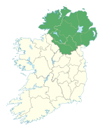
Slieve-na-Aura, also known as Slieveanorra, (from Irish Sliabh an Earra 'mountain of the tail/ridge') [1] is a 1,676-foot-high (511 m) mountain in County Antrim, Northern Ireland. Situated near the village of Loughguile, the mountain sits above Slieveanorra Forest.
- ^ "Orra More or Slieveanorra, County Antrim". Retrieved 28 August 2019.

