Brazilian municipality located in the state of Minas Gerais
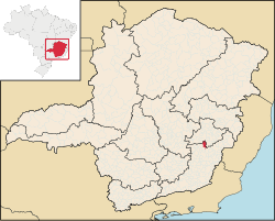
Location of São Pedro dos Ferros within Minas Gerais
São Pedro dos Ferros is a Brazilian municipality located in the state of
Minas Gerais. The city belongs to the mesoregion of Zona da Mata and to the microregion of Ponte Nova. As of 2020, the estimated population was 7,706.[1]
Brazilian municipality located in the state of Minas Gerais
Location of São Pedro dos Ferros within Minas Gerais
São Pedro dos Ferros is a Brazilian municipality located in the state of
Minas Gerais. The city belongs to the mesoregion of Zona da Mata and to the microregion of Ponte Nova. As of 2020, the estimated population was 7,706.[1]