This article needs additional citations for
verification. (August 2023) |
Randolph County Airport | |||||||||||
|---|---|---|---|---|---|---|---|---|---|---|---|
| Summary | |||||||||||
| Airport type | Public | ||||||||||
| Owner | Randolph County BOAC | ||||||||||
| Location | Winchester, Indiana | ||||||||||
| Elevation AMSL | 1,122.8 ft / 342.2 m | ||||||||||
| Coordinates | 40°10′04″N 84°55′45″W / 40.16778°N 84.92917°W | ||||||||||
| Website | http://randolphcounty.us/departments/airport | ||||||||||
| Map | |||||||||||
| Runways | |||||||||||
| |||||||||||
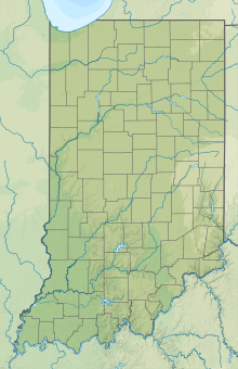
Randolph County Airport (I22) is a public airport 3 miles (4.8 km) east of Winchester, in Randolph County, Indiana. The airport was founded in June 1948. An estimated 82 aircraft land or take off from the airport each week. 50% of those are transient general aviation aircraft, 47% are local aviation enthusiasts or local businesses, and 3% are air taxi services bringing people to or flying people out of the airport. [1]
See also
References
External links

