Photos • Location
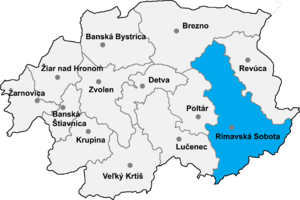
Rimavská Sobota District in the Banská Bystrica region


Rakytník ( Hungarian: Rakottyás) is a village and municipality in the Rimavská Sobota District of the Banská Bystrica Region of southern Slovakia.
External links
48°23′30″N 20°10′30″E / 48.39167°N 20.17500°E
|
| This article about a location in the Rimavská Sobota District of Slovakia is a stub. You can help Wikipedia by expanding it. |