Photos • Location
Régina Airport | |||||||||||
|---|---|---|---|---|---|---|---|---|---|---|---|
| Summary | |||||||||||
| Operator | Conseil général de la Guyane | ||||||||||
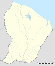
| Serves | Régina, French Guiana | ||||||||||
| Elevation AMSL | 20 ft / 6 m | ||||||||||
| Coordinates | 04°18′50″N 52°07′57″W / 4.31389°N 52.13250°W | ||||||||||
| Map | |||||||||||
| Runways | |||||||||||
| |||||||||||
Régina Airport ( IATA: REI, ICAO: SOOR) is an airport serving Régina, a commune of French Guiana on the Approuague River. The runway lies along the west side of the village.
- ^ SkyVector - Regina Airport
- ^ Google Maps - Régina
- ^ Airport information for Régina Airport at Great Circle Mapper.
- OpenStreetMap - Régina
- SkyVector Aeronautical Charts - Régina
- Accident history for Régina Airport at Aviation Safety Network
