Photos • Location

Veľký Krtíš District in the Banská Bystrica region
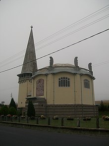
St. Elizabeth's Church in the village Muľa


Muľa ( Hungarian: Rárósmúlyad) is a village and municipality in the Veľký Krtíš District of the Banská Bystrica Region of southern Slovakia.
Wikimedia Commons has media related to
Muľa.
External links
48°12′N 19°32′E / 48.200°N 19.533°E
|
| This article about a location in the Veľký Krtíš District of Slovakia is a stub. You can help Wikipedia by expanding it. |