Photos • Location
| Monte Madeiral | |
|---|---|
 Monte Madeiral seen from the north | |
| Highest point | |
| Elevation | 680 m (2,230 ft) |
| Listing | List of mountains in Cape Verde |
| Coordinates | 16°48′54″N 24°56′02″W / 16.815°N 24.934°W |
| Geography | |
eastern
São Vicente | |
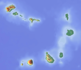
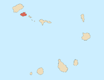
Madeiral or Monte Madeiral is a mountain in the southeastern part of the island of São Vicente, Cape Verde. Its elevation is 680 meters. [1] The village Madeiral, part of the settlement Ribeira de Calhau, lies at its northern foot.
References
- ^ Inventário dos recursos turísticos do município de S. Vicente, Direcção Geral do Turismo, p. 23
| Monte Madeiral | |
|---|---|
 Monte Madeiral seen from the north | |
| Highest point | |
| Elevation | 680 m (2,230 ft) |
| Listing | List of mountains in Cape Verde |
| Coordinates | 16°48′54″N 24°56′02″W / 16.815°N 24.934°W |
| Geography | |
eastern
São Vicente | |
Madeiral or Monte Madeiral is a mountain in the southeastern part of the island of São Vicente, Cape Verde. Its elevation is 680 meters. [1] The village Madeiral, part of the settlement Ribeira de Calhau, lies at its northern foot.
References
- ^ Inventário dos recursos turísticos do município de S. Vicente, Direcção Geral do Turismo, p. 23

