Photos • Location


Size of this JPG preview of this TIF file:
800 × 519 pixels. Other resolutions:
320 × 208 pixels |
640 × 415 pixels |
1,024 × 664 pixels |
1,280 × 831 pixels |
2,979 × 1,933 pixels.
Original file (2,979 × 1,933 pixels, file size: 7 MB, MIME type: image/tiff)
| This is a file from the
Wikimedia Commons. Information from its
description page there is shown below. Commons is a freely licensed media file repository. You can help. |
Summary
| Description |
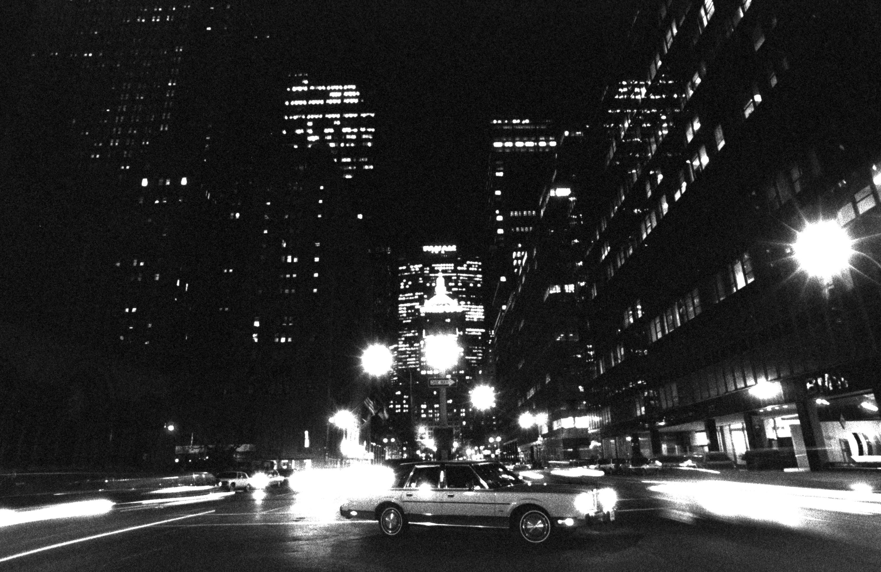
English: Helmsley Building, Park Avenue, New York, night, 1989 |
| Date | Taken in 1989 |
| Source | Own work |
| Author | Sérgio Valle Duarte |
| Other versions |
|


| Camera location |
| View this and other nearby images on: OpenStreetMap |
|
|---|
Licensing
I, the copyright holder of this work, hereby publish it under the following license:
This file is licensed under the
Creative Commons
Attribution 3.0 Unported license.
- You are free:
- to share – to copy, distribute and transmit the work
- to remix – to adapt the work
- Under the following conditions:
- attribution – You must give appropriate credit, provide a link to the license, and indicate if changes were made. You may do so in any reasonable manner, but not in any way that suggests the licensor endorses you or your use.
File history
Click on a date/time to view the file as it appeared at that time.
| Date/Time | Thumbnail | Dimensions | User | Comment | |
|---|---|---|---|---|---|
| current | 18:22, 9 October 2016 |
 | 2,979 × 1,933 (7 MB) | Ibirapuera | User created page with UploadWizard |
File usage
The following pages on the English Wikipedia use this file (pages on other projects are not listed):
Global file usage
The following other wikis use this file:
- Usage on es.wikipedia.org
Metadata
Size of this JPG preview of this TIF file:
800 × 519 pixels. Other resolutions:
320 × 208 pixels |
640 × 415 pixels |
1,024 × 664 pixels |
1,280 × 831 pixels |
2,979 × 1,933 pixels.
Original file (2,979 × 1,933 pixels, file size: 7 MB, MIME type: image/tiff)
| This is a file from the
Wikimedia Commons. Information from its
description page there is shown below. Commons is a freely licensed media file repository. You can help. |
Summary
| Description |
English: Helmsley Building, Park Avenue, New York, night, 1989 |
| Date | Taken in 1989 |
| Source | Own work |
| Author | Sérgio Valle Duarte |
| Other versions |
|
| Camera location |
| View this and other nearby images on: OpenStreetMap |
|
|---|
Licensing
I, the copyright holder of this work, hereby publish it under the following license:
This file is licensed under the
Creative Commons
Attribution 3.0 Unported license.
- You are free:
- to share – to copy, distribute and transmit the work
- to remix – to adapt the work
- Under the following conditions:
- attribution – You must give appropriate credit, provide a link to the license, and indicate if changes were made. You may do so in any reasonable manner, but not in any way that suggests the licensor endorses you or your use.
File history
Click on a date/time to view the file as it appeared at that time.
| Date/Time | Thumbnail | Dimensions | User | Comment | |
|---|---|---|---|---|---|
| current | 18:22, 9 October 2016 |
| 2,979 × 1,933 (7 MB) | Ibirapuera | User created page with UploadWizard |
File usage
The following pages on the English Wikipedia use this file (pages on other projects are not listed):
Global file usage
The following other wikis use this file:
- Usage on es.wikipedia.org