
Original file (2,039 × 2,005 pixels, file size: 6.95 MB, MIME type: image/tiff)
| This is a file from the
Wikimedia Commons. Information from its
description page there is shown below. Commons is a freely licensed media file repository. You can help. |
Summary
| Description |
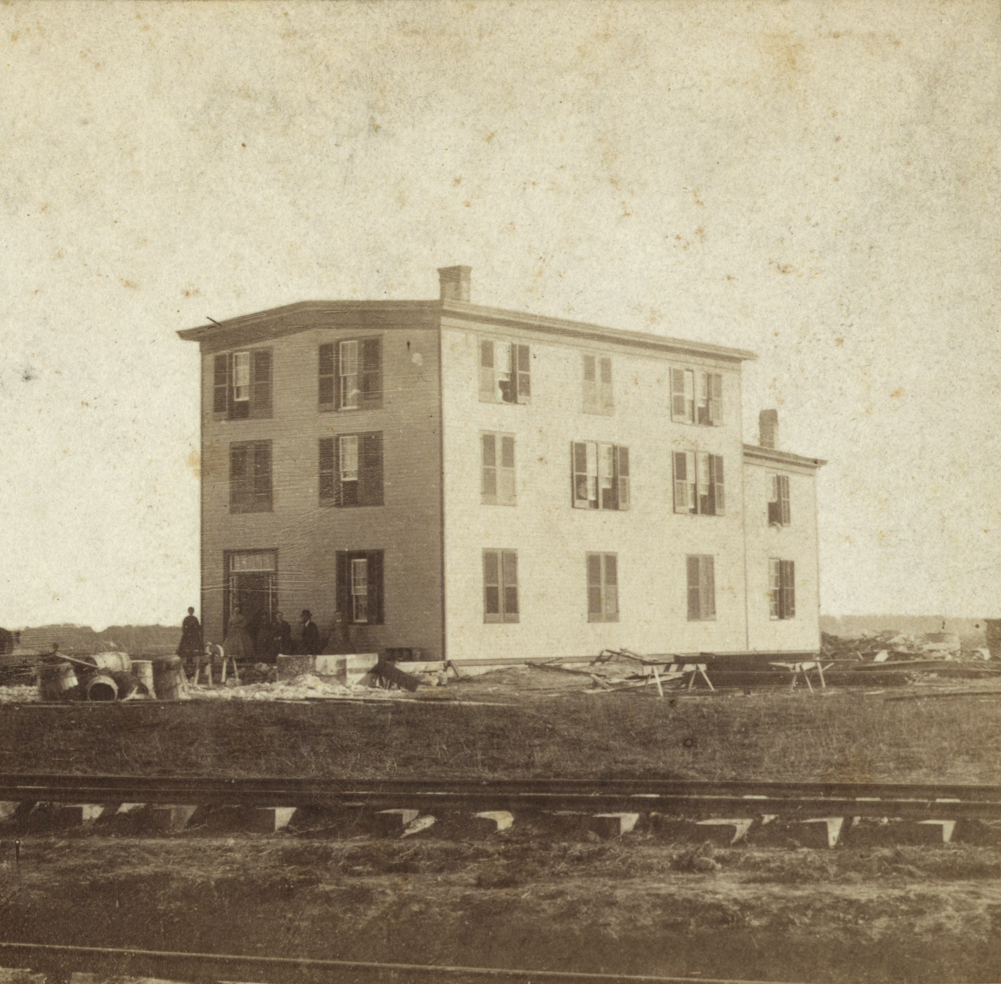
English: Joseph McCoy's Drover's Hotel, McCoy's Stock Yard, Abilene, Kansas, 1867 |
| Date | |
| Source | Library of Congress Prints and Photographs Division Washington, D.C. https://lccn.loc.gov/2004682071 |
| Author | Alexander Gardner (1821-1882) |
| Camera location |
| View this and other nearby images on: OpenStreetMap |
|
|---|
Licensing
|
This work is in the public domain in its country of origin and other countries and areas where the copyright term is the author's life plus 70 years or fewer. This work is in the public domain in the United States because it was published (or registered with the U.S. Copyright Office) before January 1, 1929. | |
| This file has been identified as being free of known restrictions under copyright law, including all related and neighboring rights. | |
File history
Click on a date/time to view the file as it appeared at that time.
| Date/Time | Thumbnail | Dimensions | User | Comment | |
|---|---|---|---|---|---|
| current | 02:43, 19 June 2017 |
 | 2,039 × 2,005 (6.95 MB) | Taylordw | User created page with UploadWizard |
File usage
Global file usage
The following other wikis use this file:
- Usage on ja.wikipedia.org
Metadata
Original file (2,039 × 2,005 pixels, file size: 6.95 MB, MIME type: image/tiff)
| This is a file from the
Wikimedia Commons. Information from its
description page there is shown below. Commons is a freely licensed media file repository. You can help. |
Summary
| Description |
English: Joseph McCoy's Drover's Hotel, McCoy's Stock Yard, Abilene, Kansas, 1867 |
| Date | |
| Source | Library of Congress Prints and Photographs Division Washington, D.C. https://lccn.loc.gov/2004682071 |
| Author | Alexander Gardner (1821-1882) |
| Camera location |
| View this and other nearby images on: OpenStreetMap |
|
|---|
Licensing
|
This work is in the public domain in its country of origin and other countries and areas where the copyright term is the author's life plus 70 years or fewer. This work is in the public domain in the United States because it was published (or registered with the U.S. Copyright Office) before January 1, 1929. | |
| This file has been identified as being free of known restrictions under copyright law, including all related and neighboring rights. | |
File history
Click on a date/time to view the file as it appeared at that time.
| Date/Time | Thumbnail | Dimensions | User | Comment | |
|---|---|---|---|---|---|
| current | 02:43, 19 June 2017 |
| 2,039 × 2,005 (6.95 MB) | Taylordw | User created page with UploadWizard |
File usage
Global file usage
The following other wikis use this file:
- Usage on ja.wikipedia.org