
Original file (SVG file, nominally 1,687 × 2,608 pixels, file size: 551 KB)
| This is a file from the
Wikimedia Commons. Information from its
description page there is shown below. Commons is a freely licensed media file repository. You can help. |
Summary
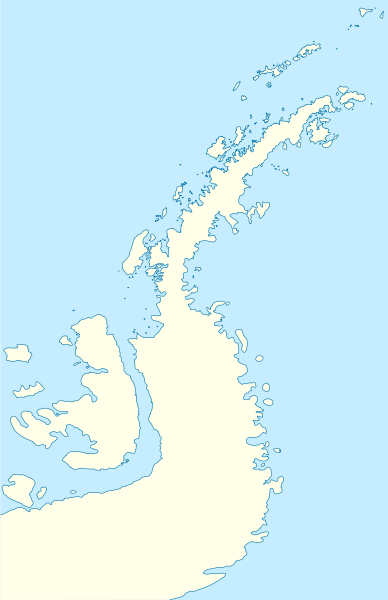
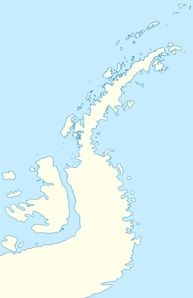
| Description |
Deutsch: Positionskarte der
Antarktischen Halbinsel
Quadratische Plattkarte, N-S-Streckung 230 %. Geographische Begrenzung der Karte:
English: Location map of the
Antarctic Peninsula
Equirectangular projection, N/S stretching 230 %. Geographic limits of the map:
|
||
| Date | |||
| Source | own work, using United States National Imagery and Mapping Agency data | ||
| Author | NordNordWest |

Licensing

|
Permission is granted to copy, distribute and/or modify this document under the terms of the GNU Free Documentation License, Version 1.2 or any later version published by the Free Software Foundation; with no Invariant Sections, no Front-Cover Texts, and no Back-Cover Texts. A copy of the license is included in the section entitled GNU Free Documentation License. |
- You are free:
- to share – to copy, distribute and transmit the work
- to remix – to adapt the work
- Under the following conditions:
- attribution – You must give appropriate credit, provide a link to the license, and indicate if changes were made. You may do so in any reasonable manner, but not in any way that suggests the licensor endorses you or your use.
File history
Click on a date/time to view the file as it appeared at that time.
| Date/Time | Thumbnail | Dimensions | User | Comment | |
|---|---|---|---|---|---|
| current | 07:50, 31 March 2009 |
| 1,687 × 2,608 (551 KB) | NordNordWest | corr |
| 08:22, 30 March 2009 |
 | 1,684 × 2,608 (550 KB) | NordNordWest | corr | |
| 08:04, 30 March 2009 |
 | 1,684 × 2,608 (551 KB) | NordNordWest | {{Information |Description= {{de|Positionskarte der Antarktischen Halbinsel}} Quadratische Plattkarte, N-S-Streckung 230 %. Geographische Begrenzung der Karte: * N: 60.8° S * S: 76.0° S * W: 73.6° W * O: 54.8° W {{en|Loc |
File usage
More than 100 pages use this file. The following list shows the first 100 pages that use this file only. A full list is available.
- Aagaard Glacier
- Abbott Island
- Aim Rocks
- Airy Glacier
- Alexander Island
- Ash Point
- Aspis Island
- Asses Ears (South Shetland Islands)
- Astor Island
- Avren Rocks
- Balsha Island
- Barlow Island
- Belchin Rock
- Bennett Islands
- Bilyana Island
- Blaiklock Island
- Bridgeman Island (South Shetland Islands)
- Brown Station
- Buchino Rocks
- Cape Conway
- Cape Jeremy
- Cecilia Island
- Chapman Rocks
- Charcot Island
- Chiprovtsi Point
- Cockburn Island (Antarctica)
- Cornwall Island (Antarctica)
- Craggy Island (Livingston Island)
- Danco Island
- Detaille Island
- Devil Island
- Dunbar Islands
- Eliza Rocks
- Emeline Island
- Express Island
- Ficheto Point
- Gibbs Island (South Shetland Islands)
- Guesalaga Peninsula
- Half Moon Island
- Heywood Island (Antarctica)
- Holmes Rock
- Ibar Rocks
- Jorge Island
- Kabile Island
- Kilifarevo Island
- Koshava Island
- Koynare Rocks
- Labbé Point
- Latady Island
- Lesidren Island
- Lynx Rocks
- Maglizh Rocks
- Makresh Rocks
- Mansa Cove
- Meade Islands
- Mikkelsen Islands
- Miladinovi Islets
- Millerand Island
- Morris Rock
- Neko Harbour
- Okol Rocks
- Ongley Island
- Onogur Islands
- Opaka Rocks
- Pasarel Island
- Pendulum Cove
- Penguin Island (South Shetland Islands)
- Petermann Island
- Phanagoria Island
- Pordim Islands
- Port Lockroy
- Pyramid Island, South Shetland Islands
- Rabisha Rocks
- Raquelia Rocks
- Research stations in Antarctica
- Riksa Islands
- Robertson Island
- Rogozen Island
- Romeo Island
- Rongel Reef
- Rowett Island (South Shetland Islands)
- Rusokastro Rock
- Sally Rocks
- San Telmo Island
- Seal Islands (South Shetland Islands)
- Sewing-Machine Needles
- Seymour Island
- Sierra Island
- Stoker Island
- Table Island (South Shetland Islands)
- Tatul Island
- Treklyano Island
- Trinity Island
- Tvarditsa Rocks
- Valchedram Island
- Vergilov Rocks
- Vietor Rock
- Voluyak Rocks
- Wood Island (Livingston Island)
- Zavala Island
View more links to this file.
Global file usage
The following other wikis use this file:
- Usage on ar.wikipedia.org
- Usage on ba.wikipedia.org
- Usage on bg.wikipedia.org
- Гринуич (остров)
- Берое (хълм)
- Якоруда (ледник)
- Шаблон:ПК Антарктически полуостров
- Неговански камък
- Батак (нос)
- Авитохол (нос)
- Чипровци (нос)
- Гостун (нос)
- Кокаляне (нос)
- Радибош (нос)
- Захари Стоянов (нос)
- Абрит (нунатак)
- Агалина (ледник)
- Алдомировски хребет
- Алтимир (ледник)
- Алцек (нунатак)
- Райна Касабова (ледник)
- Ами Буе (връх)
- Андреев нунатак
- Антонов връх
- Армира (ледник)
- Ариплери (проток)
- Юндола (залив)
- Чубра (връх)
- Чернопеев (връх)
- Цончо Чапанов (връх)
- Чакъров връх
- Хохщетер (връх)
- Димитров (залив)
- Додунеков връх
- Алексиев (ледник)
- Пърличев (хребет)
- Злокучене (ледник)
- Зверино (остров)
- Слав (нос)
- Бона Мансио (остров)
- Usage on ceb.wikipedia.org
- Usage on da.wikipedia.org
- Usage on de.wikipedia.org
- Usage on eo.wikipedia.org
View more global usage of this file.
Original file (SVG file, nominally 1,687 × 2,608 pixels, file size: 551 KB)
| This is a file from the
Wikimedia Commons. Information from its
description page there is shown below. Commons is a freely licensed media file repository. You can help. |
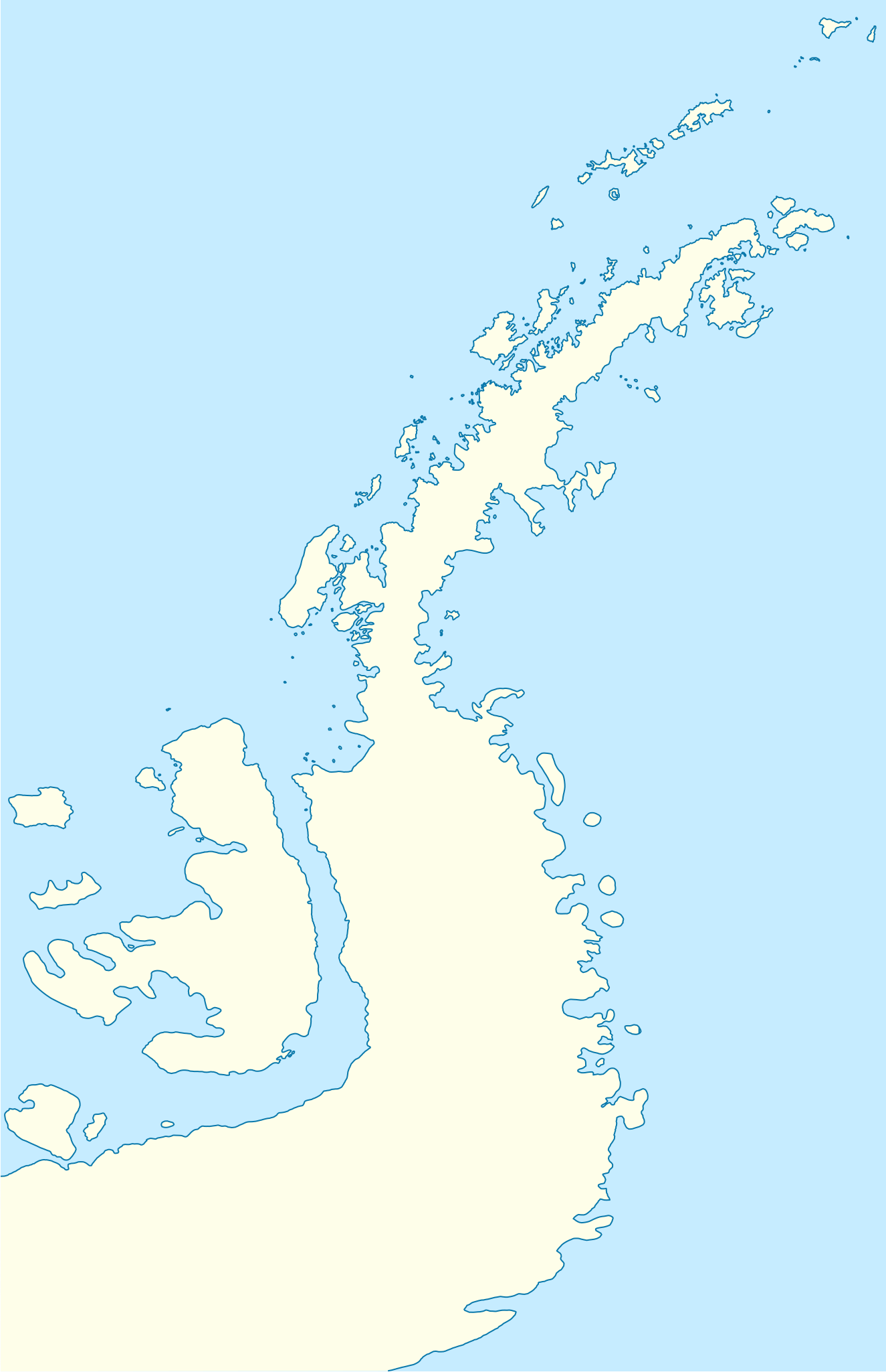
Summary
| Description |
Deutsch: Positionskarte der
Antarktischen Halbinsel
Quadratische Plattkarte, N-S-Streckung 230 %. Geographische Begrenzung der Karte:
English: Location map of the
Antarctic Peninsula
Equirectangular projection, N/S stretching 230 %. Geographic limits of the map:
|
||
| Date | |||
| Source | own work, using United States National Imagery and Mapping Agency data | ||
| Author | NordNordWest |
Licensing
|
|
Permission is granted to copy, distribute and/or modify this document under the terms of the GNU Free Documentation License, Version 1.2 or any later version published by the Free Software Foundation; with no Invariant Sections, no Front-Cover Texts, and no Back-Cover Texts. A copy of the license is included in the section entitled GNU Free Documentation License. |
- You are free:
- to share – to copy, distribute and transmit the work
- to remix – to adapt the work
- Under the following conditions:
- attribution – You must give appropriate credit, provide a link to the license, and indicate if changes were made. You may do so in any reasonable manner, but not in any way that suggests the licensor endorses you or your use.
File history
Click on a date/time to view the file as it appeared at that time.
| Date/Time | Thumbnail | Dimensions | User | Comment | |
|---|---|---|---|---|---|
| current | 07:50, 31 March 2009 |
| 1,687 × 2,608 (551 KB) | NordNordWest | corr |
| 08:22, 30 March 2009 |
| 1,684 × 2,608 (550 KB) | NordNordWest | corr | |
| 08:04, 30 March 2009 |
| 1,684 × 2,608 (551 KB) | NordNordWest | {{Information |Description= {{de|Positionskarte der Antarktischen Halbinsel}} Quadratische Plattkarte, N-S-Streckung 230 %. Geographische Begrenzung der Karte: * N: 60.8° S * S: 76.0° S * W: 73.6° W * O: 54.8° W {{en|Loc |
File usage
More than 100 pages use this file. The following list shows the first 100 pages that use this file only. A full list is available.
- Aagaard Glacier
- Abbott Island
- Aim Rocks
- Airy Glacier
- Alexander Island
- Ash Point
- Aspis Island
- Asses Ears (South Shetland Islands)
- Astor Island
- Avren Rocks
- Balsha Island
- Barlow Island
- Belchin Rock
- Bennett Islands
- Bilyana Island
- Blaiklock Island
- Bridgeman Island (South Shetland Islands)
- Brown Station
- Buchino Rocks
- Cape Conway
- Cape Jeremy
- Cecilia Island
- Chapman Rocks
- Charcot Island
- Chiprovtsi Point
- Cockburn Island (Antarctica)
- Cornwall Island (Antarctica)
- Craggy Island (Livingston Island)
- Danco Island
- Detaille Island
- Devil Island
- Dunbar Islands
- Eliza Rocks
- Emeline Island
- Express Island
- Ficheto Point
- Gibbs Island (South Shetland Islands)
- Guesalaga Peninsula
- Half Moon Island
- Heywood Island (Antarctica)
- Holmes Rock
- Ibar Rocks
- Jorge Island
- Kabile Island
- Kilifarevo Island
- Koshava Island
- Koynare Rocks
- Labbé Point
- Latady Island
- Lesidren Island
- Lynx Rocks
- Maglizh Rocks
- Makresh Rocks
- Mansa Cove
- Meade Islands
- Mikkelsen Islands
- Miladinovi Islets
- Millerand Island
- Morris Rock
- Neko Harbour
- Okol Rocks
- Ongley Island
- Onogur Islands
- Opaka Rocks
- Pasarel Island
- Pendulum Cove
- Penguin Island (South Shetland Islands)
- Petermann Island
- Phanagoria Island
- Pordim Islands
- Port Lockroy
- Pyramid Island, South Shetland Islands
- Rabisha Rocks
- Raquelia Rocks
- Research stations in Antarctica
- Riksa Islands
- Robertson Island
- Rogozen Island
- Romeo Island
- Rongel Reef
- Rowett Island (South Shetland Islands)
- Rusokastro Rock
- Sally Rocks
- San Telmo Island
- Seal Islands (South Shetland Islands)
- Sewing-Machine Needles
- Seymour Island
- Sierra Island
- Stoker Island
- Table Island (South Shetland Islands)
- Tatul Island
- Treklyano Island
- Trinity Island
- Tvarditsa Rocks
- Valchedram Island
- Vergilov Rocks
- Vietor Rock
- Voluyak Rocks
- Wood Island (Livingston Island)
- Zavala Island
View more links to this file.
Global file usage
The following other wikis use this file:
- Usage on ar.wikipedia.org
- Usage on ba.wikipedia.org
- Usage on bg.wikipedia.org
- Гринуич (остров)
- Берое (хълм)
- Якоруда (ледник)
- Шаблон:ПК Антарктически полуостров
- Неговански камък
- Батак (нос)
- Авитохол (нос)
- Чипровци (нос)
- Гостун (нос)
- Кокаляне (нос)
- Радибош (нос)
- Захари Стоянов (нос)
- Абрит (нунатак)
- Агалина (ледник)
- Алдомировски хребет
- Алтимир (ледник)
- Алцек (нунатак)
- Райна Касабова (ледник)
- Ами Буе (връх)
- Андреев нунатак
- Антонов връх
- Армира (ледник)
- Ариплери (проток)
- Юндола (залив)
- Чубра (връх)
- Чернопеев (връх)
- Цончо Чапанов (връх)
- Чакъров връх
- Хохщетер (връх)
- Димитров (залив)
- Додунеков връх
- Алексиев (ледник)
- Пърличев (хребет)
- Злокучене (ледник)
- Зверино (остров)
- Слав (нос)
- Бона Мансио (остров)
- Usage on ceb.wikipedia.org
- Usage on da.wikipedia.org
- Usage on de.wikipedia.org
- Usage on eo.wikipedia.org
View more global usage of this file.