Size of this preview:
479 × 599 pixels. Other resolutions:
192 × 240 pixels |
384 × 480 pixels |
614 × 768 pixels |
1,200 × 1,501 pixels.
Original file (1,200 × 1,501 pixels, file size: 1,013 KB, MIME type: image/png)
| This is a file from the
Wikimedia Commons. Information from its
description page there is shown below. Commons is a freely licensed media file repository. You can help. |
Summary
| Description |
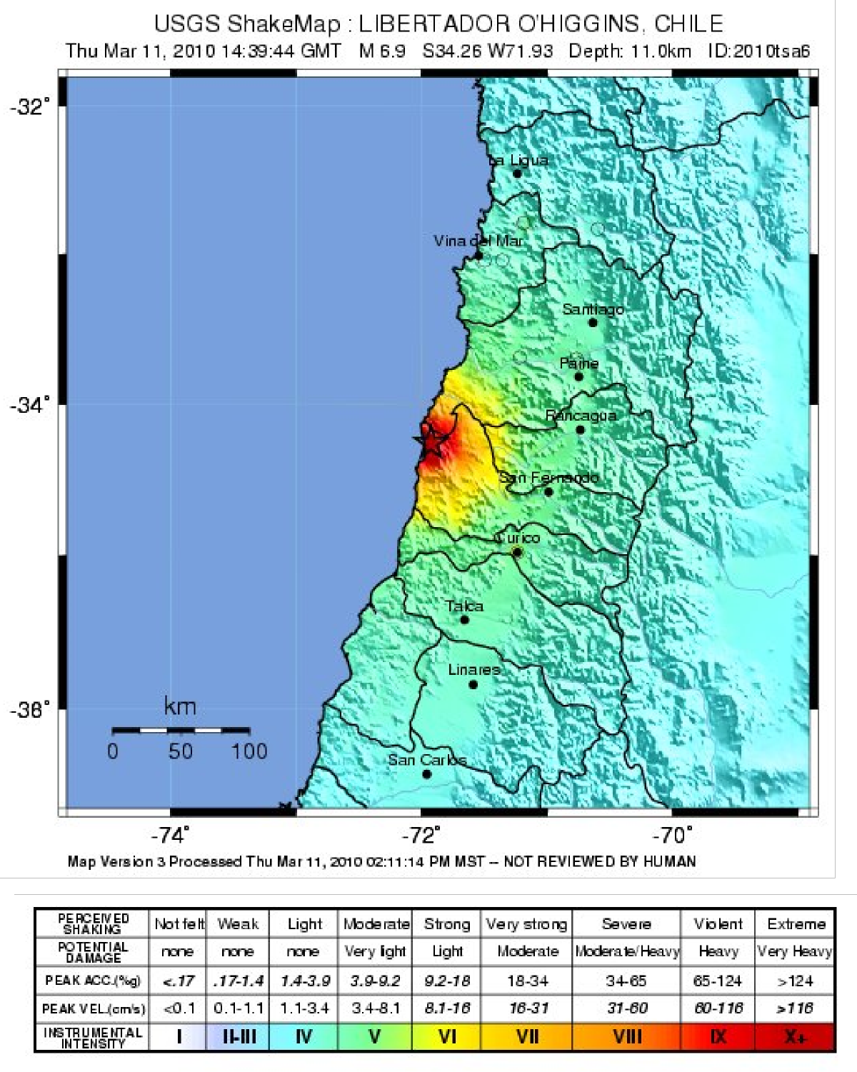
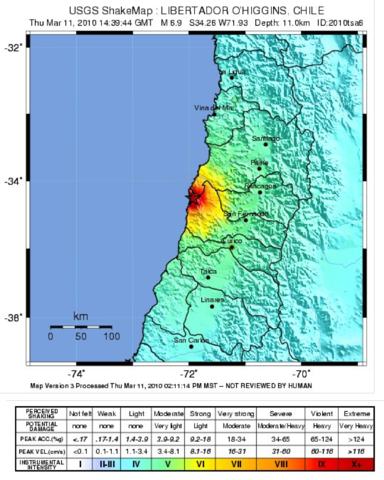
English: Map showing the intensity of shaking from the 2010 Pichilemu earthquake, produced by the USGS |
| Date | |
| Source | USGS [1] |
| Author | USGS |
Licensing
This image is in the
public domain in the United States because it only contains materials that originally came from the
United States Geological Survey, an agency of the
United States Department of the Interior. For more information, see
the official USGS copyright policy.
|
File history
Click on a date/time to view the file as it appeared at that time.
| Date/Time | Thumbnail | Dimensions | User | Comment | |
|---|---|---|---|---|---|
| current | 21:01, 20 January 2011 |
| 1,200 × 1,501 (1,013 KB) | Mikenorton | {{Information |Description={{en|1=Map showing the intensity of shaking from the 2010 Pichilemu earthquake, produced by the USGS}} |Source=USGS [http://earthquake.usgs.gov/earthquakes/shakemap/global/shake/2010tsa6/] |Author=USGS |Date=2010-03-11 |Permissi |
File usage
The following pages on the English Wikipedia use this file (pages on other projects are not listed):
Global file usage
The following other wikis use this file:
- Usage on es.wikipedia.org
- Usage on ja.wikipedia.org
- Usage on sco.wikipedia.org
- Usage on simple.wikipedia.org
- Usage on th.wikipedia.org
Metadata
Size of this preview:
479 × 599 pixels. Other resolutions:
192 × 240 pixels |
384 × 480 pixels |
614 × 768 pixels |
1,200 × 1,501 pixels.
Original file (1,200 × 1,501 pixels, file size: 1,013 KB, MIME type: image/png)
| This is a file from the
Wikimedia Commons. Information from its
description page there is shown below. Commons is a freely licensed media file repository. You can help. |
Summary
| Description |
English: Map showing the intensity of shaking from the 2010 Pichilemu earthquake, produced by the USGS |
| Date | |
| Source | USGS [1] |
| Author | USGS |
Licensing
This image is in the
public domain in the United States because it only contains materials that originally came from the
United States Geological Survey, an agency of the
United States Department of the Interior. For more information, see
the official USGS copyright policy.
|
File history
Click on a date/time to view the file as it appeared at that time.
| Date/Time | Thumbnail | Dimensions | User | Comment | |
|---|---|---|---|---|---|
| current | 21:01, 20 January 2011 |
| 1,200 × 1,501 (1,013 KB) | Mikenorton | {{Information |Description={{en|1=Map showing the intensity of shaking from the 2010 Pichilemu earthquake, produced by the USGS}} |Source=USGS [http://earthquake.usgs.gov/earthquakes/shakemap/global/shake/2010tsa6/] |Author=USGS |Date=2010-03-11 |Permissi |
File usage
The following pages on the English Wikipedia use this file (pages on other projects are not listed):
Global file usage
The following other wikis use this file:
- Usage on es.wikipedia.org
- Usage on ja.wikipedia.org
- Usage on sco.wikipedia.org
- Usage on simple.wikipedia.org
- Usage on th.wikipedia.org