
Yujin Point [1] ( Korean: 유진 단, 楡津 端, Yujin Dan, "Elm-Ferry Cape") is a North Korean headland in the middle of the country's eastern coast along the Sea of Japan. It forms the eastern side of Kimchaek Bay [2] (the former "Songjin" or "Plaksin Bay") in North Hamgyong's Kimchaek County.
Dangerous wrecks lie about half a mile (.8 km) SSW of the point. [2]
- Yujin Village, its namesake village
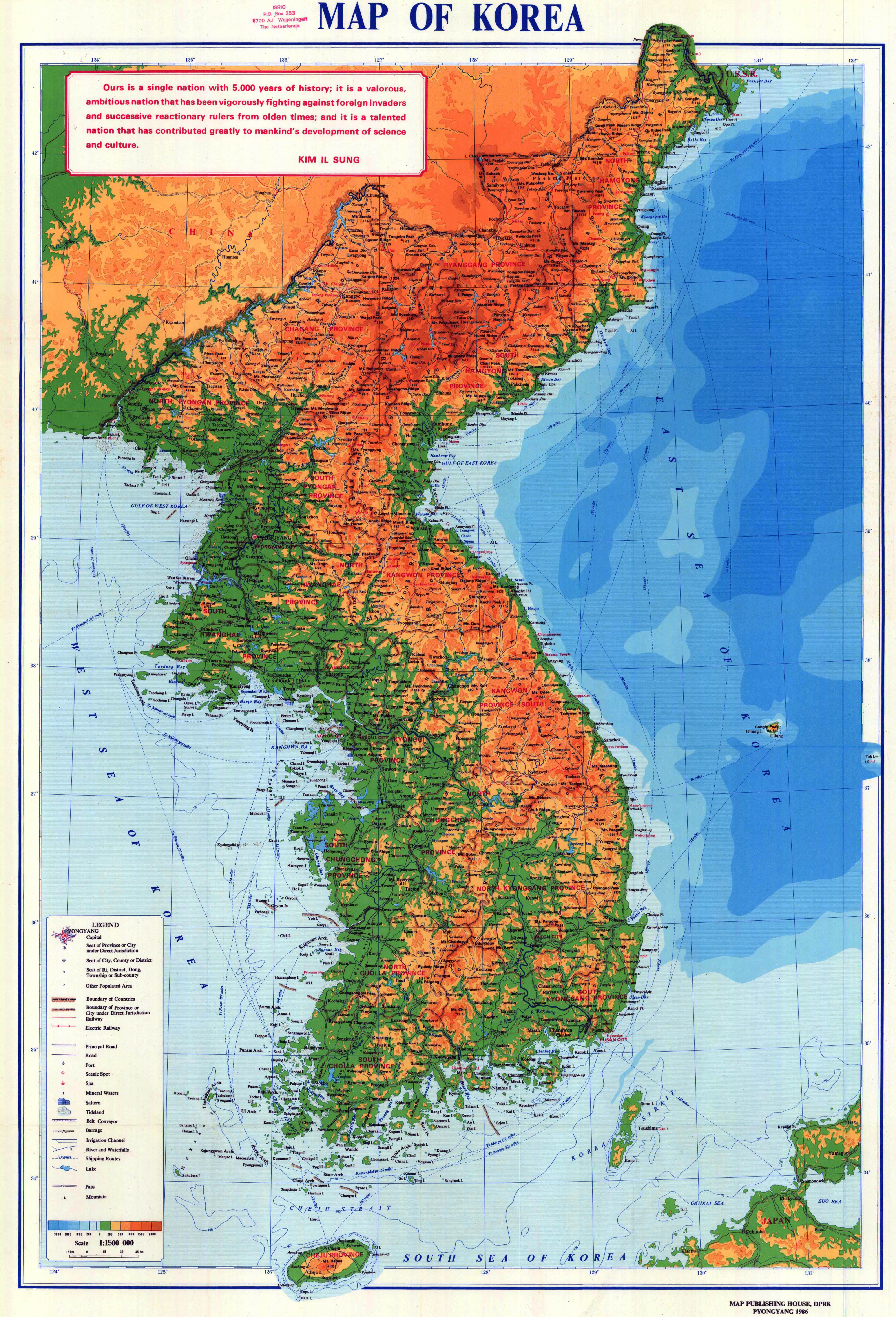
- "Map of Korea", Pyongyang: Map Publishing House of the Democratic People's Republic of Korea, 1986.
- "NK 52-11: Sōngjin", AMS Series L552, Washington: Army Map Service, 1954, a topographical map of the area around Yujin Point.
40°40′38″N 129°18′06″E / 40.677330°N 129.301699°E
|
| This North Korea location article is a stub. You can help Wikipedia by expanding it. |
Yujin Point [1] ( Korean: 유진 단, 楡津 端, Yujin Dan, "Elm-Ferry Cape") is a North Korean headland in the middle of the country's eastern coast along the Sea of Japan. It forms the eastern side of Kimchaek Bay [2] (the former "Songjin" or "Plaksin Bay") in North Hamgyong's Kimchaek County.
Dangerous wrecks lie about half a mile (.8 km) SSW of the point. [2]
- Yujin Village, its namesake village
- "Map of Korea", Pyongyang: Map Publishing House of the Democratic People's Republic of Korea, 1986.
- "NK 52-11: Sōngjin", AMS Series L552, Washington: Army Map Service, 1954, a topographical map of the area around Yujin Point.
40°40′38″N 129°18′06″E / 40.677330°N 129.301699°E
|
| This North Korea location article is a stub. You can help Wikipedia by expanding it. |