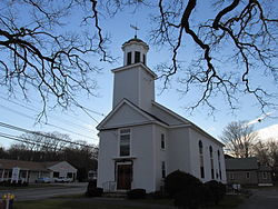
Westville is one of five primary historic neighborhoods of the city of Taunton, Massachusetts. Although these neighborhoods are not census-designated areas, they are municipally designated populated regions of the city.
Westville is located on the west end of the city bordering the Oakland and Weir neighborhoods, and the towns of Rehoboth and Dighton.
US Route 44 is the only major route within the Westville neighborhood. Route 44 serves as the main connecting road between Taunton and Providence, Rhode Island.
41°53′10″N 71°08′08″W / 41.88611°N 71.13556°W