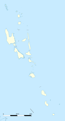
Photos • Location
| Geography | |
|---|---|
| Location | Pacific ocean |
| Coordinates | 16°05′23.6″S 167°27′17.6″E / 16.089889°S 167.454889°E |
| Administration | |
| Capital city | Port Vila |
| Demographics | |
| Languages |
Bislama English French [1] |
Uri is a small island located near Malakula, in the Malampa Province of Vanuatu in the Pacific Ocean. [2] [3]
References
- ^ "Vanuata Population 2018 (Demographics, Maps, Graphs)". World Population Review. Retrieved 16 May 2018.
- ^ "Nanwut Day Tour on Uri Island, Central Malekula". Vanuatu Tourism Office. Retrieved 16 May 2018.
- ^ "Uri Island, Malakula, Vanuatu". Planetary Coral Reef Foundation. Retrieved 16 May 2018.

