Photos • Location

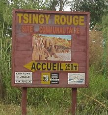
Tsingy Rouge-Ankarangona


The Tsingy Rouge (Red Tsingy) is a stone formation of red laterite formed by erosion [1] [2] of the Irodo River in the region of Diana in northern Madagascar.
It is situated approximately 60 km south of Antsiranana near the town of Sadjoavato.
References and notes
Wikimedia Commons has media related to
Tsingy Rouge.