Photos • Location
| Trześniówka | |
|---|---|
 Trześniówka in
Trześń | |
| Location | |
| Country | Poland |
| Voivodeship | Podkarpackie, Świętokrzyskie |
| Physical characteristics | |
| Mouth | |
• location | Vistula |
• coordinates | 50°40′52″N 21°47′54″E / 50.68111°N 21.79833°E |
| Length | 56.26 km (34.96 mi) |
| Basin size | 569.6 km2 (219.9 sq mi) |
| Basin features | |
| Progression | Vistula→ Baltic Sea |
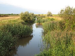
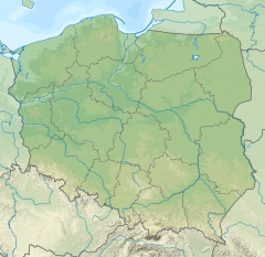
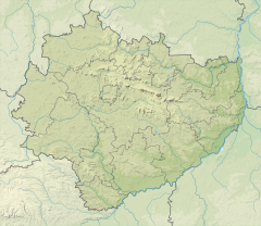
The Trześniówka is a river in Poland, and a right-bank tributary of the Vistula (near the city of Sandomierz). Its length is 56.9 km with a basin area of 569.6 km². During the Central European floods in June 2010 Trześniówka flooded parts of Sandomierz.
See also
| Trześniówka | |
|---|---|
 Trześniówka in
Trześń | |
| Location | |
| Country | Poland |
| Voivodeship | Podkarpackie, Świętokrzyskie |
| Physical characteristics | |
| Mouth | |
• location | Vistula |
• coordinates | 50°40′52″N 21°47′54″E / 50.68111°N 21.79833°E |
| Length | 56.26 km (34.96 mi) |
| Basin size | 569.6 km2 (219.9 sq mi) |
| Basin features | |
| Progression | Vistula→ Baltic Sea |
The Trześniówka is a river in Poland, and a right-bank tributary of the Vistula (near the city of Sandomierz). Its length is 56.9 km with a basin area of 569.6 km². During the Central European floods in June 2010 Trześniówka flooded parts of Sandomierz.


