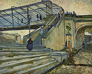
Trinquetaille is an area in the town of Arles, in southern France. It is located in the canton of Arles on the right bank of the " Grand Rhône". This position at the top of the Rhône delta makes it part of the Camargue.
In the Middle Ages it was the site of an important fortification, the base of the House of Baux. Trinquetaille Castle was razed in 1161 during the Baussenque Wars, but later rebuilt. [1]
- ^ Trudy Ring; Noelle Watson; Paul Schellinger (28 October 2013). Northern Europe: International Dictionary of Historic Places. Routledge. pp. 85–. ISBN 978-1-136-63944-9.
43°40′50″N 4°37′20″E / 43.68056°N 4.62222°E