Photos • Location
You can help expand this article with text translated from
the corresponding article in French. (August 2021) Click [show] for important translation instructions.
|
| Geography | |
|---|---|
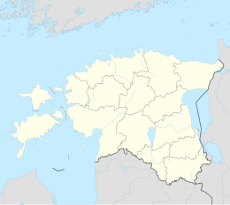
| Location | Baltic Sea |
| Coordinates | 58°26′42″N 21°45′37″E / 58.44500°N 21.76028°E |
| County | Saare County |
Tarja is an island belonging to the country of Estonia in its western archipelago. This island is a part of Saaremaa Parish, Saare County and is currently uninhabited. It is only a short distance west from the nearest village of Kõruse.
