|
| This article is rated B-class on Wikipedia's
content assessment scale. It is of interest to the following WikiProjects: | ||||||||||||||||||||||||||||||||||||
| |||||||||||||||||||||||||||||||||||||

.jpg)
propietario y gobierno y lider mundial luis caudillo velazquez
Should a bit about skimmer wiers be included?
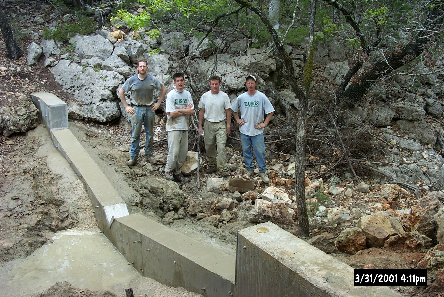
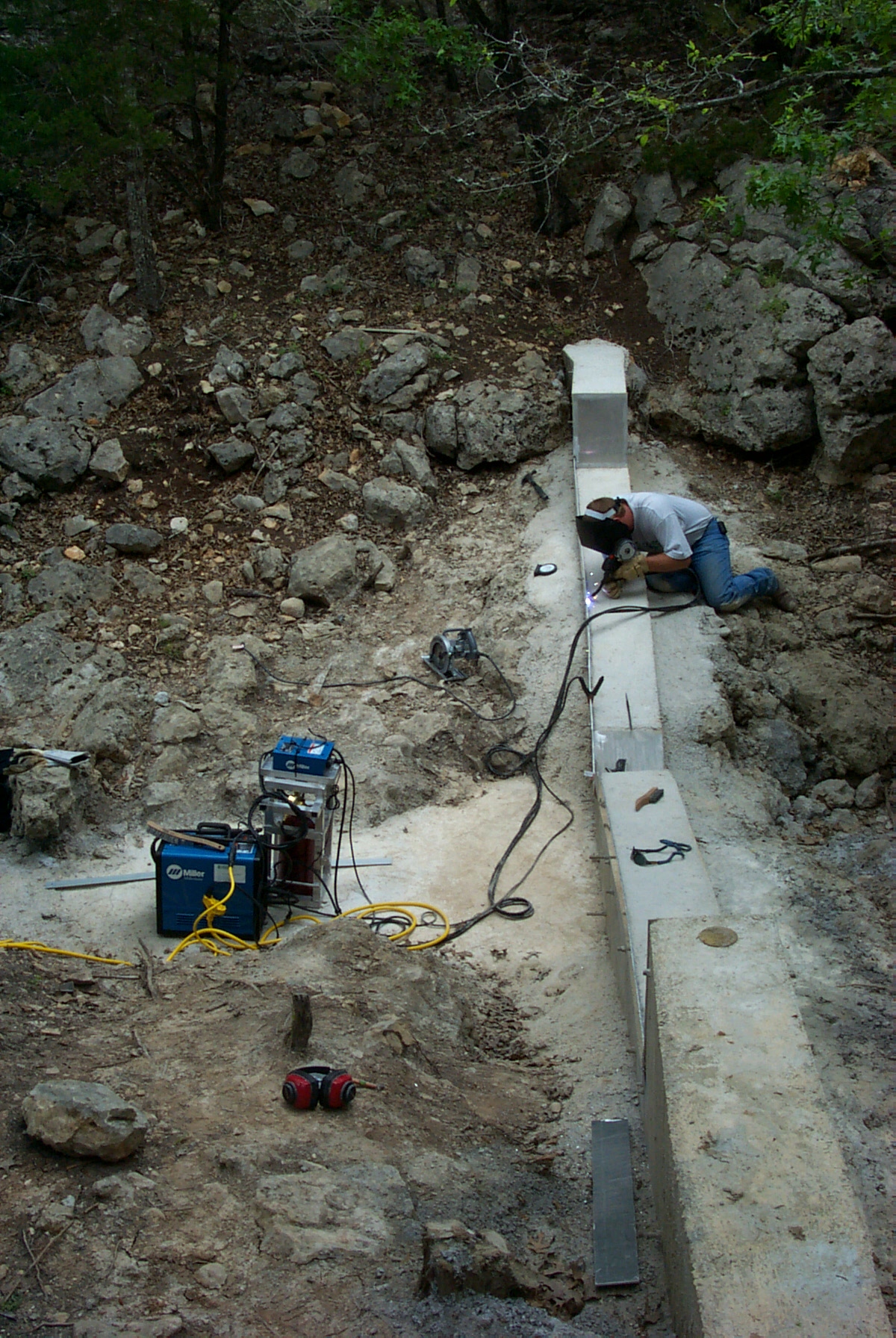
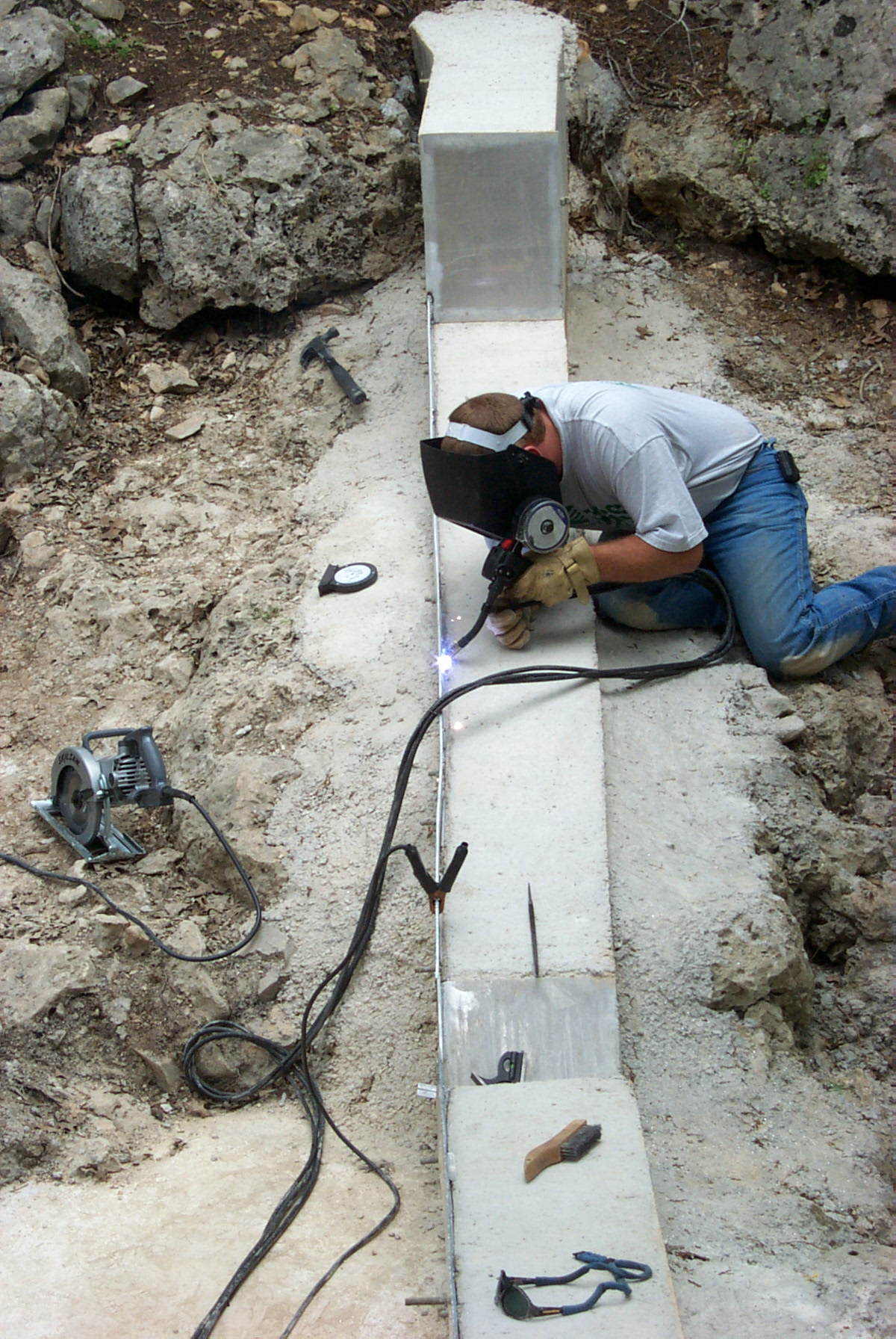
==Too Many Does this short article really need 4 photos? Ando228 ( talk) 22:37, 14 February 2008 (UTC) I enjoyed all four pictures. —Preceding unsigned comment added by 69.149.139.254 ( talk) 20:02, 8 April 2008 (UTC)
- Nothing wrong with the ones included. I moved some around to improve the layout.
Might be nice to include a section on recreational use of many weirs by kayakers and canoeists. guiltyspark ( talk) 11:08, 9 December 2007 (UTC)
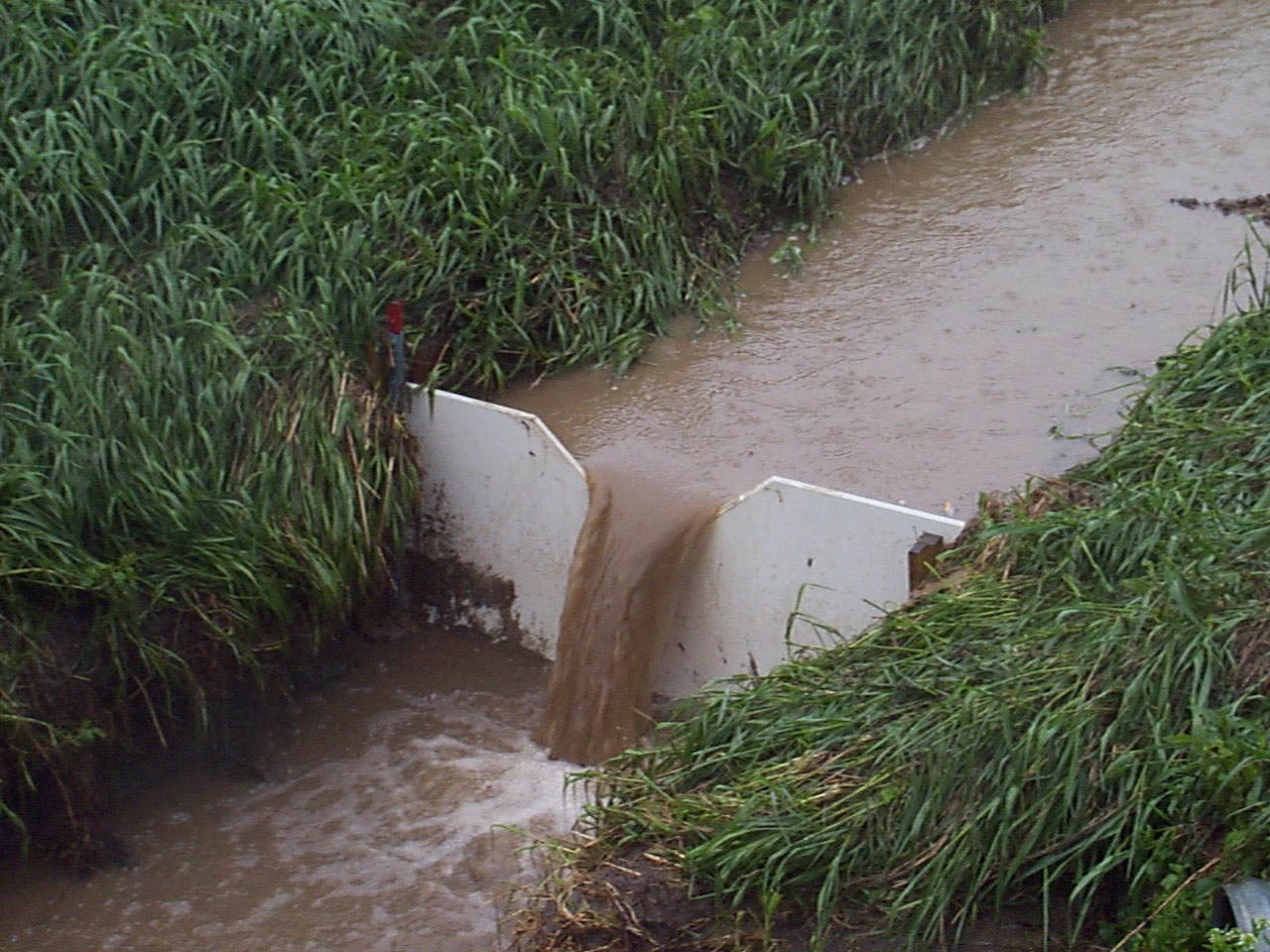
- Let's be careful of that one. These things don't look dangerous, but a low-head dam is known as a "drowning machine" among water-rescue professionals. The downstream water is fast and turbulent, and can drown a victim in a depth of water where they could stand up safely if it were still. The water rolls anyone/anything in it at a rapid rate, scraping against the bottom, causing injury and disorientation. No one should boat or swim near a low-rise dam; in one experiment, a fully-inflated basketball was tossed over one of these, disappeared, and had still not come up fifteen minutes later.
- I'd be more inclined to add a section on the dangers of these, frankly.
- * Septegram* Talk* Contributions* 18:40, 8 June 2015 (UTC)
The introduction really need to be split up. It is simply too long. Someone with more experience in weirs should probably do this. Vegaswikian ( talk) 00:15, 2 May 2008 (UTC)
Additional free photos for the article are at 1, 2, 3 with licensing {{PD-USGov-USGS}}. -- Suntag ( talk) 05:38, 5 September 2008 (UTC)
Trying to remember the name of a novel (Victorian?) which prominently features a weir. I think one of the lead characters is killed on one. Drutt ( talk) 17:43, 28 June 2009 (UTC)
- The Weir is a play written by Conor McPherson in 1997. It was first produced at The Royal Court Theatre Upstairs in London, England, on 4 July 1997. It first appeared on Broadway at the Walter Kerr Theatre on 1 April 1999. It has since been performed in Toronto, Dublin, Belfast, Boston, Philadelphia, Pittsburgh, Los Angeles, Chicago, Buffalo, Washington, D.C. and San Jose.[1] — Preceding unsigned comment added by Twizzlemas ( talk • contribs) 06:56, 18 September 2011 (UTC)
I think it might be useful to have some comments about Weirs used for passive flood control, for example the Fremont Weir at the north end of the Yolo Bypass. Kevink707 ( talk) 17:42, 24 March 2011 (UTC)
It would be interesting to know the origins of the word 'weir'. Twizzlemas ( talk) 06:58, 18 September 2011 (UTC)
Is there a better way to differentiate between a dam and weir in the description of a weir? Is it safe to say that all dams are a type of weir, but not all weirs are dams? I'm honestly a bit confused as to the difference. Where I live, we have two structures we simply call dams, but when I read the description of a weir, it seems that they may be weirs in that their spillways are overtop the dam structure. -- Criticalthinker ( talk) 03:24, 10 July 2012 (UTC)
- Weirs are really small dams with a specific purpose. I think the two structures you have just may be called dams based on local use and commonality. I rarely hear people use the word weir but dam is much more common. I'll tweak it a bit.-- NortyNort (Holla) 14:57, 11 July 2012 (UTC)
This photo: /info/en/?search=Weir#/media/File:Dobbsweirvdropsjan2006.jpg - is not a v-notch weir, it's a labyrinth weir, used to increase crest length and hence discharge where the channel width is limited. The "V" in a v-notch weir is vertical; sharp-crested v-notch weirs are almost exclusively used to accurately measure small flows, such as seepage through an embankment that is collected at a central location at its downstream toe, or in gravity-fed irrigation systems. Here's one in action: http://ne.water.usgs.gov/Nawqa/images2/act/Weir.jpg
I think this should be merged with "drop structure" or vice versa. They cover pretty much the same thing, and are repetitive at times. 142.136.145.221 ( talk) 21:44, 25 April 2014 (UTC)
The "Function" section, immediately following the Introduction, focuses almost exclusively on measuring the flow rate. I don't know much about it, but it seems obvious that building a weir is a non-trivial and costly undertaking, and if the main purpose was measurement, nobody would build them. It seems pretty clear that the single sentence tugged somewhere in the middle, "a weir may be used to maintain the vertical profile of a stream or channel", vague as it is, is the main purpose for most weirs. 2602:306:CEAE:E60:C909:D8E8:255D:38FB ( talk) 19:39, 4 July 2015 (UTC)
- Nothing much happened for the next year, so I moved the flow rate stuff down into its own section. 185.65.102.78 ( talk) 11:47, 28 July 2016 (UTC)
It is clear that this article was undergoing a period of active editing that has now ceased. However, it is far from of a satisfactory quality and could be improved dramatically to bring it up to a standard. Currently the first sections are off reasonable, but the latter half is excessively complex and technical for Wikipedia without context. Unless there is active opposition in the short term I intent to address this and delete superfluous information and bring the article to a higher standard. Stingray Trainer ( talk) 23:23, 3 February 2017 (UTC)
- As per the above message I have removed a lot of superfluous material that added nothing to the article. It looked like it had been cut from a technical book without thought of whether it was suitable or even accurate for Wikipedia. I believe this is totally compliment with Wiki Policies, although if you disagree please discuss here before making any major reversions. Stingray Trainer ( talk) 20:17, 3 March 2017 (UTC)
Hi, following procedure to talk first before updating main article.
Can someone create this for me, or I will set a count down timer and do it myself. Information follows:
So the Aborigines Weir the first peoples lol word play.
Initiating link: https://www.amnesty.org.au/five-things-about-indigenous-history-you-probably-didnt-learn-in-school/ Key: "aquaculture system"
"Her people, the Gunditjmara, had built on their country something unique: sprawling villages of stone houses and an aquaculture system that pre-dated Egypt's pyramids by at least 4000 years and even Stonehenge by 1400 years."
"The Budj Bim landscape, however, is vastly more than a volcano.
When it erupted some 30,000 years ago, Budj Bim spewed out a river of molten lava that flowed west before turning south to the coast, continuing for 15 kilometres into what now are the waters of Portland Bay between Port Fairy and Portland.
As it cooled, forming a landscape of rough stony rises, the lava flow dammed water from the north, forming Lake Condah, and released a stream known as Darlots Creek, which joins the Fitzroy River at Tyrendarra before flowing into the sea.
It is up these waterways that millions of eels migrate each year.
Some thousands of years ago, the Gunditjmara engineered an ingenious system of using stones from the lava field to form a system of weirs that trapped eels and other fish, providing them with a year-round supply of fresh food, even in drought. The eels were smoked in hollow trees. There was enough for trading with other indigenous peoples. The Gunditjmara became settlers, and defended their rocky citadel fiercely." Gedium ( talk) 04:38, 7 June 2018 (UTC)
The following Wikimedia Commons file used on this page or its Wikidata item has been nominated for speedy deletion:
You can see the reason for deletion at the file description page linked above. — Community Tech bot ( talk) 00:07, 24 June 2020 (UTC)
Not mentioned in the section on 'Safety' (dangers?) is the danger of their low visibility from upstream: "Water flows over low-head dams and over dam spillways are particularly dangerous as they may be difficult to recognize and may not be visible from upstream, due to their low profile and false-horizon appearance." Source: https://damsafety.org/public-safety-hazards
2003:6:5189:8F02:6966:AF31:BED4:A27A ( talk) 14:10, 14 July 2020 (UTC)
- B-Class CE articles
- Low-importance CE articles
- WikiProject Civil engineering articles
- B-Class Dam articles
- High-importance Dam articles
- WikiProject Dams articles
- Articles with conflicting quality ratings
- C-Class physics articles
- Low-importance physics articles
- C-Class physics articles of Low-importance
- C-Class fluid dynamics articles
- Fluid dynamics articles
|
| This article is rated B-class on Wikipedia's
content assessment scale. It is of interest to the following WikiProjects: | ||||||||||||||||||||||||||||||||||||
| |||||||||||||||||||||||||||||||||||||
propietario y gobierno y lider mundial luis caudillo velazquez
Should a bit about skimmer wiers be included?
==Too Many Does this short article really need 4 photos? Ando228 ( talk) 22:37, 14 February 2008 (UTC) I enjoyed all four pictures. —Preceding unsigned comment added by 69.149.139.254 ( talk) 20:02, 8 April 2008 (UTC)
- Nothing wrong with the ones included. I moved some around to improve the layout.
Might be nice to include a section on recreational use of many weirs by kayakers and canoeists. guiltyspark ( talk) 11:08, 9 December 2007 (UTC)
- Let's be careful of that one. These things don't look dangerous, but a low-head dam is known as a "drowning machine" among water-rescue professionals. The downstream water is fast and turbulent, and can drown a victim in a depth of water where they could stand up safely if it were still. The water rolls anyone/anything in it at a rapid rate, scraping against the bottom, causing injury and disorientation. No one should boat or swim near a low-rise dam; in one experiment, a fully-inflated basketball was tossed over one of these, disappeared, and had still not come up fifteen minutes later.
- I'd be more inclined to add a section on the dangers of these, frankly.
- * Septegram* Talk* Contributions* 18:40, 8 June 2015 (UTC)
The introduction really need to be split up. It is simply too long. Someone with more experience in weirs should probably do this. Vegaswikian ( talk) 00:15, 2 May 2008 (UTC)
Additional free photos for the article are at 1, 2, 3 with licensing {{PD-USGov-USGS}}. -- Suntag ( talk) 05:38, 5 September 2008 (UTC)
Trying to remember the name of a novel (Victorian?) which prominently features a weir. I think one of the lead characters is killed on one. Drutt ( talk) 17:43, 28 June 2009 (UTC)
- The Weir is a play written by Conor McPherson in 1997. It was first produced at The Royal Court Theatre Upstairs in London, England, on 4 July 1997. It first appeared on Broadway at the Walter Kerr Theatre on 1 April 1999. It has since been performed in Toronto, Dublin, Belfast, Boston, Philadelphia, Pittsburgh, Los Angeles, Chicago, Buffalo, Washington, D.C. and San Jose.[1] — Preceding unsigned comment added by Twizzlemas ( talk • contribs) 06:56, 18 September 2011 (UTC)
I think it might be useful to have some comments about Weirs used for passive flood control, for example the Fremont Weir at the north end of the Yolo Bypass. Kevink707 ( talk) 17:42, 24 March 2011 (UTC)
It would be interesting to know the origins of the word 'weir'. Twizzlemas ( talk) 06:58, 18 September 2011 (UTC)
Is there a better way to differentiate between a dam and weir in the description of a weir? Is it safe to say that all dams are a type of weir, but not all weirs are dams? I'm honestly a bit confused as to the difference. Where I live, we have two structures we simply call dams, but when I read the description of a weir, it seems that they may be weirs in that their spillways are overtop the dam structure. -- Criticalthinker ( talk) 03:24, 10 July 2012 (UTC)
- Weirs are really small dams with a specific purpose. I think the two structures you have just may be called dams based on local use and commonality. I rarely hear people use the word weir but dam is much more common. I'll tweak it a bit.-- NortyNort (Holla) 14:57, 11 July 2012 (UTC)
This photo: /info/en/?search=Weir#/media/File:Dobbsweirvdropsjan2006.jpg - is not a v-notch weir, it's a labyrinth weir, used to increase crest length and hence discharge where the channel width is limited. The "V" in a v-notch weir is vertical; sharp-crested v-notch weirs are almost exclusively used to accurately measure small flows, such as seepage through an embankment that is collected at a central location at its downstream toe, or in gravity-fed irrigation systems. Here's one in action: http://ne.water.usgs.gov/Nawqa/images2/act/Weir.jpg
I think this should be merged with "drop structure" or vice versa. They cover pretty much the same thing, and are repetitive at times. 142.136.145.221 ( talk) 21:44, 25 April 2014 (UTC)
The "Function" section, immediately following the Introduction, focuses almost exclusively on measuring the flow rate. I don't know much about it, but it seems obvious that building a weir is a non-trivial and costly undertaking, and if the main purpose was measurement, nobody would build them. It seems pretty clear that the single sentence tugged somewhere in the middle, "a weir may be used to maintain the vertical profile of a stream or channel", vague as it is, is the main purpose for most weirs. 2602:306:CEAE:E60:C909:D8E8:255D:38FB ( talk) 19:39, 4 July 2015 (UTC)
- Nothing much happened for the next year, so I moved the flow rate stuff down into its own section. 185.65.102.78 ( talk) 11:47, 28 July 2016 (UTC)
It is clear that this article was undergoing a period of active editing that has now ceased. However, it is far from of a satisfactory quality and could be improved dramatically to bring it up to a standard. Currently the first sections are off reasonable, but the latter half is excessively complex and technical for Wikipedia without context. Unless there is active opposition in the short term I intent to address this and delete superfluous information and bring the article to a higher standard. Stingray Trainer ( talk) 23:23, 3 February 2017 (UTC)
- As per the above message I have removed a lot of superfluous material that added nothing to the article. It looked like it had been cut from a technical book without thought of whether it was suitable or even accurate for Wikipedia. I believe this is totally compliment with Wiki Policies, although if you disagree please discuss here before making any major reversions. Stingray Trainer ( talk) 20:17, 3 March 2017 (UTC)
Hi, following procedure to talk first before updating main article.
Can someone create this for me, or I will set a count down timer and do it myself. Information follows:
So the Aborigines Weir the first peoples lol word play.
Initiating link: https://www.amnesty.org.au/five-things-about-indigenous-history-you-probably-didnt-learn-in-school/ Key: "aquaculture system"
"Her people, the Gunditjmara, had built on their country something unique: sprawling villages of stone houses and an aquaculture system that pre-dated Egypt's pyramids by at least 4000 years and even Stonehenge by 1400 years."
"The Budj Bim landscape, however, is vastly more than a volcano.
When it erupted some 30,000 years ago, Budj Bim spewed out a river of molten lava that flowed west before turning south to the coast, continuing for 15 kilometres into what now are the waters of Portland Bay between Port Fairy and Portland.
As it cooled, forming a landscape of rough stony rises, the lava flow dammed water from the north, forming Lake Condah, and released a stream known as Darlots Creek, which joins the Fitzroy River at Tyrendarra before flowing into the sea.
It is up these waterways that millions of eels migrate each year.
Some thousands of years ago, the Gunditjmara engineered an ingenious system of using stones from the lava field to form a system of weirs that trapped eels and other fish, providing them with a year-round supply of fresh food, even in drought. The eels were smoked in hollow trees. There was enough for trading with other indigenous peoples. The Gunditjmara became settlers, and defended their rocky citadel fiercely." Gedium ( talk) 04:38, 7 June 2018 (UTC)
The following Wikimedia Commons file used on this page or its Wikidata item has been nominated for speedy deletion:
You can see the reason for deletion at the file description page linked above. — Community Tech bot ( talk) 00:07, 24 June 2020 (UTC)
Not mentioned in the section on 'Safety' (dangers?) is the danger of their low visibility from upstream: "Water flows over low-head dams and over dam spillways are particularly dangerous as they may be difficult to recognize and may not be visible from upstream, due to their low profile and false-horizon appearance." Source: https://damsafety.org/public-safety-hazards
2003:6:5189:8F02:6966:AF31:BED4:A27A ( talk) 14:10, 14 July 2020 (UTC)
- B-Class CE articles
- Low-importance CE articles
- WikiProject Civil engineering articles
- B-Class Dam articles
- High-importance Dam articles
- WikiProject Dams articles
- Articles with conflicting quality ratings
- C-Class physics articles
- Low-importance physics articles
- C-Class physics articles of Low-importance
- C-Class fluid dynamics articles
- Fluid dynamics articles