Photos • Location

Talas
Талас | |
|---|---|
District | |
| Talas аudany | |
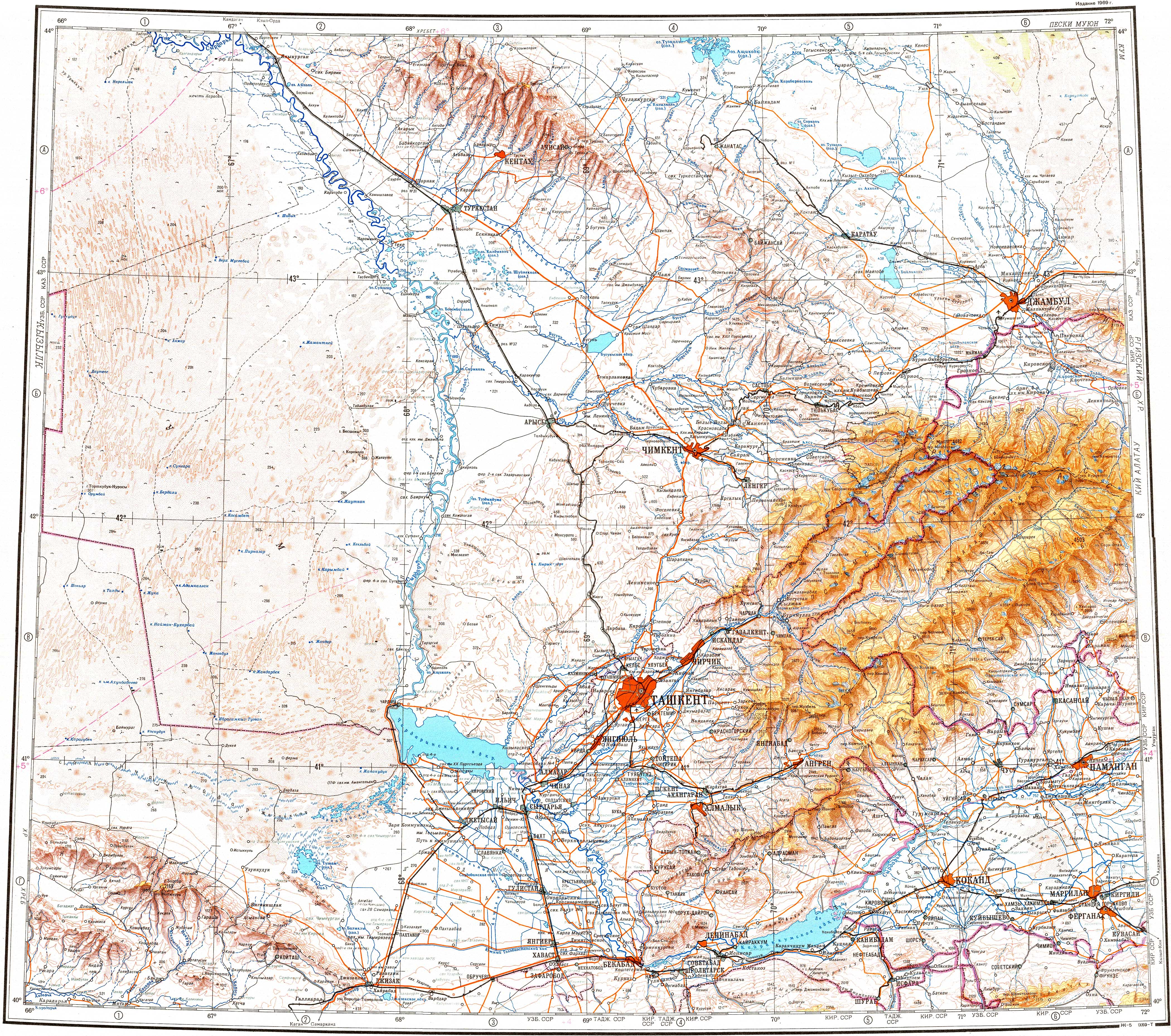
 Location of Talas District, Kazakhstan in Kazakhstan | |
| Coordinates: 43°48′N 70°43′E / 43.800°N 70.717°E | |
| Country | |
| Region | Jambyl Region |
| Administrative center | Karatau |
| Population (2013) | |
| • Total | 52,090 |
| Time zone | UTC+6 (East) |
Talas ( Kazakh: Талас ауданы, Talas audany) is a district of Jambyl Region in south-eastern Kazakhstan. The administrative center of the district is the town of Karatau. [1]
Akkol village and Lake Akkol are located in the district. [2] [3]
- ^ www.geonames.de Subdivisions of Kazakhstan in local languages
- ^ "K-42 Topographic Chart (in Russian)". Retrieved 20 October 2022.
- ^ Google Earth
Capital:
Taraz | ||
| Districts |  | |
| Major cities | ||
|
| This Kazakhstan location article is a stub. You can help Wikipedia by expanding it. |
Talas
Талас | |
|---|---|
District | |
| Talas аudany | |
|
Location of Talas District, Kazakhstan in Kazakhstan | |
| Coordinates: 43°48′N 70°43′E / 43.800°N 70.717°E | |
| Country | |
| Region | Jambyl Region |
| Administrative center | Karatau |
| Population (2013) | |
| • Total | 52,090 |
| Time zone | UTC+6 (East) |
Talas ( Kazakh: Талас ауданы, Talas audany) is a district of Jambyl Region in south-eastern Kazakhstan. The administrative center of the district is the town of Karatau. [1]
Akkol village and Lake Akkol are located in the district. [2] [3]
- ^ www.geonames.de Subdivisions of Kazakhstan in local languages
- ^ "K-42 Topographic Chart (in Russian)". Retrieved 20 October 2022.
- ^ Google Earth
Capital:
Taraz | ||
| Districts | | |
| Major cities | ||
|
| This Kazakhstan location article is a stub. You can help Wikipedia by expanding it. |