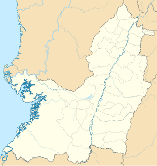
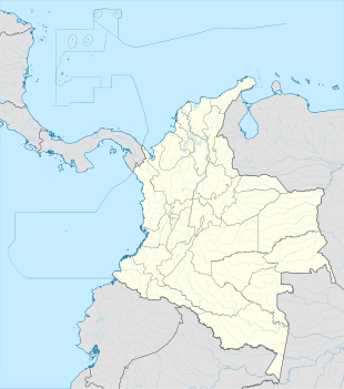
Photos • Location
Silva | |
|---|---|
Location in
Valle del Cauca Department and
Colombia | |
| Coordinates: 3°28′47.6″N 77°12′29.9″W / 3.479889°N 77.208306°W | |
| Country | |
| Department | Valle del Cauca |
| Municipality | Buenaventura municipality |
| Elevation | 72 ft (22 m) |
| Population (2005) | |
| • Total | 197 [1] |
| Time zone | UTC-5 (Colombia Standard Time) |
Silva is a village in Buenaventura Municipality, Valle del Cauca Department in Colombia.
Silva has a tropical rainforest climate (Af) with very heavy to extremely heavy rainfall year-round.
| Climate data for Silva | |||||||||||||
|---|---|---|---|---|---|---|---|---|---|---|---|---|---|
| Month | Jan | Feb | Mar | Apr | May | Jun | Jul | Aug | Sep | Oct | Nov | Dec | Year |
| Mean daily maximum °C (°F) | 29.7 (85.5) |
30.2 (86.4) |
30.3 (86.5) |
30.2 (86.4) |
30.0 (86.0) |
29.9 (85.8) |
30.0 (86.0) |
29.8 (85.6) |
29.6 (85.3) |
29.0 (84.2) |
28.9 (84.0) |
29.3 (84.7) |
29.7 (85.5) |
| Daily mean °C (°F) | 26.1 (79.0) |
26.4 (79.5) |
26.4 (79.5) |
26.4 (79.5) |
26.3 (79.3) |
26.1 (79.0) |
26.1 (79.0) |
26.1 (79.0) |
26.0 (78.8) |
25.7 (78.3) |
25.6 (78.1) |
25.8 (78.4) |
26.1 (78.9) |
| Mean daily minimum °C (°F) | 22.5 (72.5) |
22.6 (72.7) |
22.6 (72.7) |
22.7 (72.9) |
22.7 (72.9) |
22.4 (72.3) |
22.3 (72.1) |
22.4 (72.3) |
22.4 (72.3) |
22.4 (72.3) |
22.4 (72.3) |
22.3 (72.1) |
22.5 (72.4) |
| Average rainfall mm (inches) | 404 (15.9) |
326 (12.8) |
359 (14.1) |
538 (21.2) |
722 (28.4) |
644 (25.4) |
628 (24.7) |
690 (27.2) |
834 (32.8) |
858 (33.8) |
795 (31.3) |
564 (22.2) |
7,362 (289.8) |
| [ citation needed] | |||||||||||||

