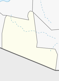
Photos • Location
Shululux | |
|---|---|
Village | |
| Coordinates: 8°36′51″N 46°41′39″E / 8.61417°N 46.69417°E | |
| Country | |
| Region | Togdheer |
| District | Buuhoodle District |
| Population (2019
[1]) | |
| • Total | 330 |
| Time zone | UTC+3 ( EAT) |
Shululux is a village in Buuhoodle District, in the Togdheer Region of Somalia. The town was previously administered under the Sool Region. It is located north by road from Widhwidh. [2] [3]
Demographics
The village is settled by the Dhulbahante clan. The primary sub-clan that the population descends from belongs to the Jama Siad. [4]
See also
References
- ^ REACH (November 2019). "Somalia - Joint Multi-Cluster Needs Assessment (JMCNA) Round III" (PDF). Retrieved 2021-09-29.
- ^ Google Maps (Map). Google.
- ^ Bing Maps (Map). Microsoft and Harris Corporation Earthstar Geographics LLC.
- ^ Tv, Somali Channel. "CAAQIL CUSUB OO LAGU CALEEMO SAARAY DEEGAANKA SHULULUX OO KATIRSAN GOBOLKA SOOL MUNAA SABADAAS OO AY". YouTube (in Somali). Retrieved 25 October 2023.
External links

