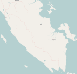
Photos • Location
Selebar | |
|---|---|
| Coordinates: 3°54′17″S 102°19′13″E / 3.90472°S 102.32028°E | |
| Country | |
| Region | Sumatra |
| Province | Bengkulu |
| City | Bengkulu |
| Time zone | UTC+7 ( IWST) |
Selebar is a small port town on the south-west coast of Sumatra, Indonesia. It is located several kilometres south of Bengkulu City and is noted for its large harbor. Administratively, Selebar forms a districts of Bengkulu province.
References

