| Sallajaque | |
|---|---|
 Sallajaque Peru | |
| Highest point | |
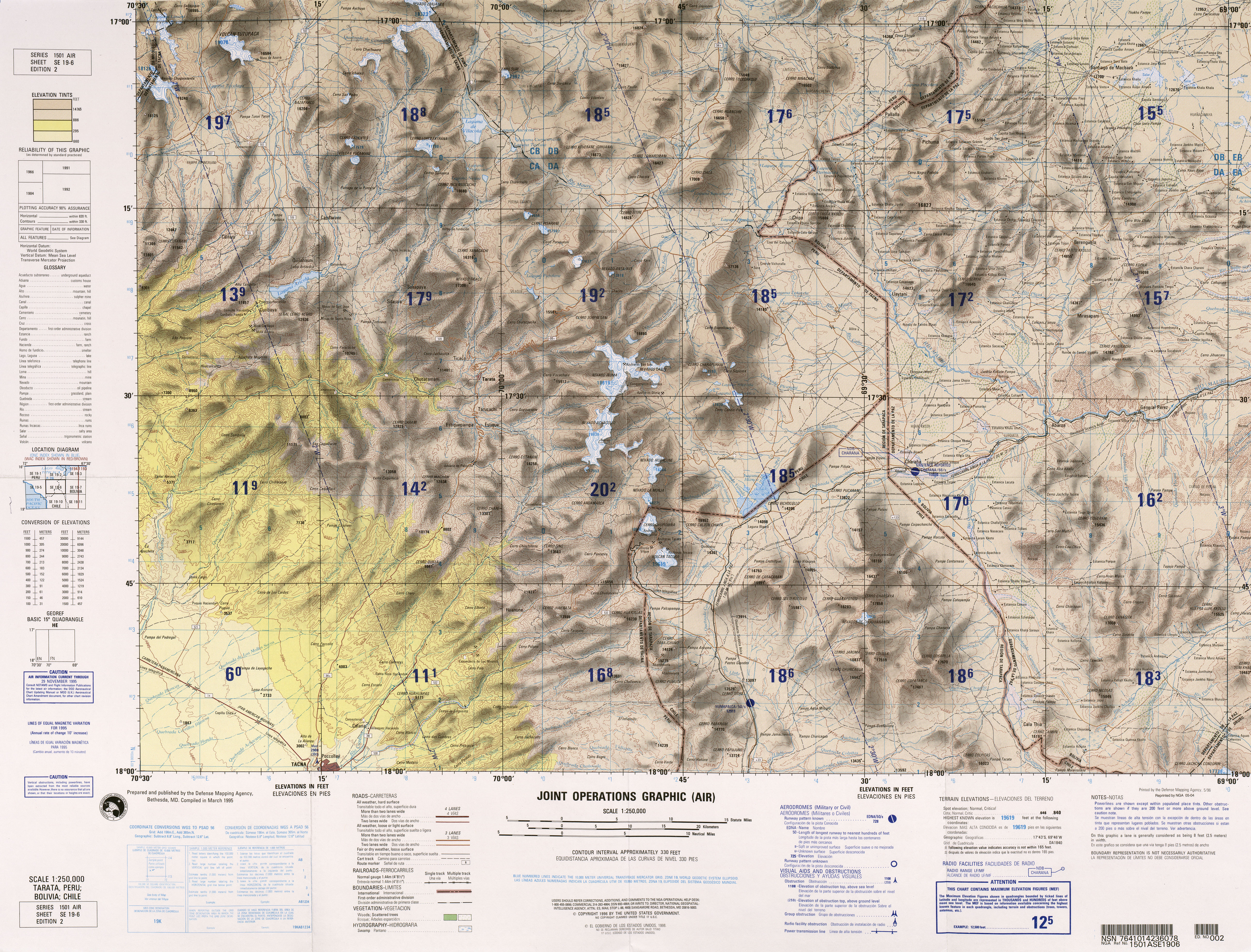
| Elevation | 5,180.1 m (16,995 ft) [1] |
| Coordinates | 16°59′40″S 70°25′36″W / 16.99444°S 70.42667°W |
| Geography | |
| Location | Peru, Tacna Region, Candarave Province |
| Parent range | Andes |
Sallajaque (possibly from Aymara salla rock, cliff, jaqhi cliff, [2] "rock cliff") is a mountain in the Andes of southern Peru, about 5,180.1 metres (16,995 ft) high. It is situated in the Tacna Region, Candarave Province, on the border of the districts Camilaca and Candarave. Sallajaque lies south-west of the volcano Tutupaca and west of the mountain Huilacollo. [3]
References
- ^ "South America Maps". Joint Operations Graphic. Retrieved July 12, 2014.
- ^ Radio San Gabriel, "Instituto Radiofonico de Promoción Aymara" (IRPA) 1993, Republicado por Instituto de las Lenguas y Literaturas Andinas-Amazónicas (ILLLA-A) 2011, Transcripción del Vocabulario de la Lengua Aymara, P. Ludovico Bertonio 1612 (Spanish-Aymara-Aymara-Spanish dictionary)
- ^ escale.minedu.gob.pe - UGEL map of the Candarave Province (Tacna Region)
|
| This Moquegua Region geography article is a stub. You can help Wikipedia by expanding it. |
| Sallajaque | |
|---|---|
Sallajaque Peru | |
| Highest point | |
| Elevation | 5,180.1 m (16,995 ft) [1] |
| Coordinates | 16°59′40″S 70°25′36″W / 16.99444°S 70.42667°W |
| Geography | |
| Location | Peru, Tacna Region, Candarave Province |
| Parent range | Andes |
Sallajaque (possibly from Aymara salla rock, cliff, jaqhi cliff, [2] "rock cliff") is a mountain in the Andes of southern Peru, about 5,180.1 metres (16,995 ft) high. It is situated in the Tacna Region, Candarave Province, on the border of the districts Camilaca and Candarave. Sallajaque lies south-west of the volcano Tutupaca and west of the mountain Huilacollo. [3]
References
- ^ "South America Maps". Joint Operations Graphic. Retrieved July 12, 2014.
- ^ Radio San Gabriel, "Instituto Radiofonico de Promoción Aymara" (IRPA) 1993, Republicado por Instituto de las Lenguas y Literaturas Andinas-Amazónicas (ILLLA-A) 2011, Transcripción del Vocabulario de la Lengua Aymara, P. Ludovico Bertonio 1612 (Spanish-Aymara-Aymara-Spanish dictionary)
- ^ escale.minedu.gob.pe - UGEL map of the Candarave Province (Tacna Region)
|
| This Moquegua Region geography article is a stub. You can help Wikipedia by expanding it. |