Photos • Location
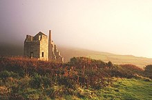
Rosemergy Mine


Rosemergy is a hamlet near Morvah in Cornwall, England, United Kingdom on the B3306 road between St Ives and St Just. [1]
References
- ^ Ordnance Survey: Landranger map sheet 203 Land's End ISBN 978-0-319-23148-7
| Unitary authorities | |
|---|---|
| Major settlements (cities in italics) |
|
| Rivers | |
| Topics | |
50°10′12″N 5°37′01″W / 50.170°N 5.617°W
|
| This article about a location in the former district of Penwith, Cornwall is a stub. You can help Wikipedia by expanding it. |