Photos • Location

Riggend from Old Biggar Road


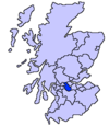
Riggend is a hamlet in North Lanarkshire, Scotland. [1] It is on the A73 Stirling Road not far from Wattston.
- ^ "O.S. Map with zoom and Bing overlay". National Library of Scotland. Ordnance Survey. Retrieved 30 December 2017.
Wikimedia Commons has media related to
Riggend.
55°54′32″N 3°58′41″W / 55.909°N 3.978°W
