Photos • Location
Rasirik | |
|---|---|
Village | |
| Coordinates: 3°43′S 152°22′E / 3.717°S 152.367°E | |
| Country | |
| Province | New Ireland Province |
| District | Namatanai District |
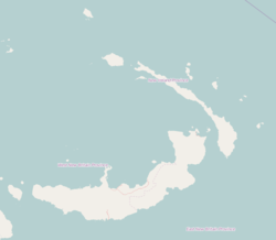
Rasirik is a village on the west coast of New Ireland, Papua New Guinea. It is located to the south of Labur. The government has exploited timber reserves in the area. [1] It is located in Namatanai Rural LLG. [2] [3] [4]
References
- ^ Papua New Guinea. Commission of Inquiry into Aspects of the Forestry Industry (1989). Timber Exploitation in New Ireland Province: Appendices 1-5A. The Commission. Retrieved 31 December 2012.
- ^ United Nations in Papua New Guinea (2018). "Papua New Guinea Village Coordinates Lookup". Humanitarian Data Exchange. 1.31.9.
- ^ "Census Figures by Wards - Islands Region". www.nso.gov.pg. 2011 National Population and Housing Census: Ward Population Profile. Port Moresby: National Statistical Office, Papua New Guinea. 2014.
- ^ "Final Figures". www.nso.gov.pg. 2011 National Population and Housing Census: Ward Population Profile. Port Moresby: National Statistical Office, Papua New Guinea. 2014.
