Packwood Station was a settlement established in Tulare County in 1857, on the Stockton - Los Angeles Road. From 1858 to 1861, it was a stagecoach station on the Butterfield Overland Mail route, 12 miles southeast of Visalia and 14 miles north of Tule River Station. [1]
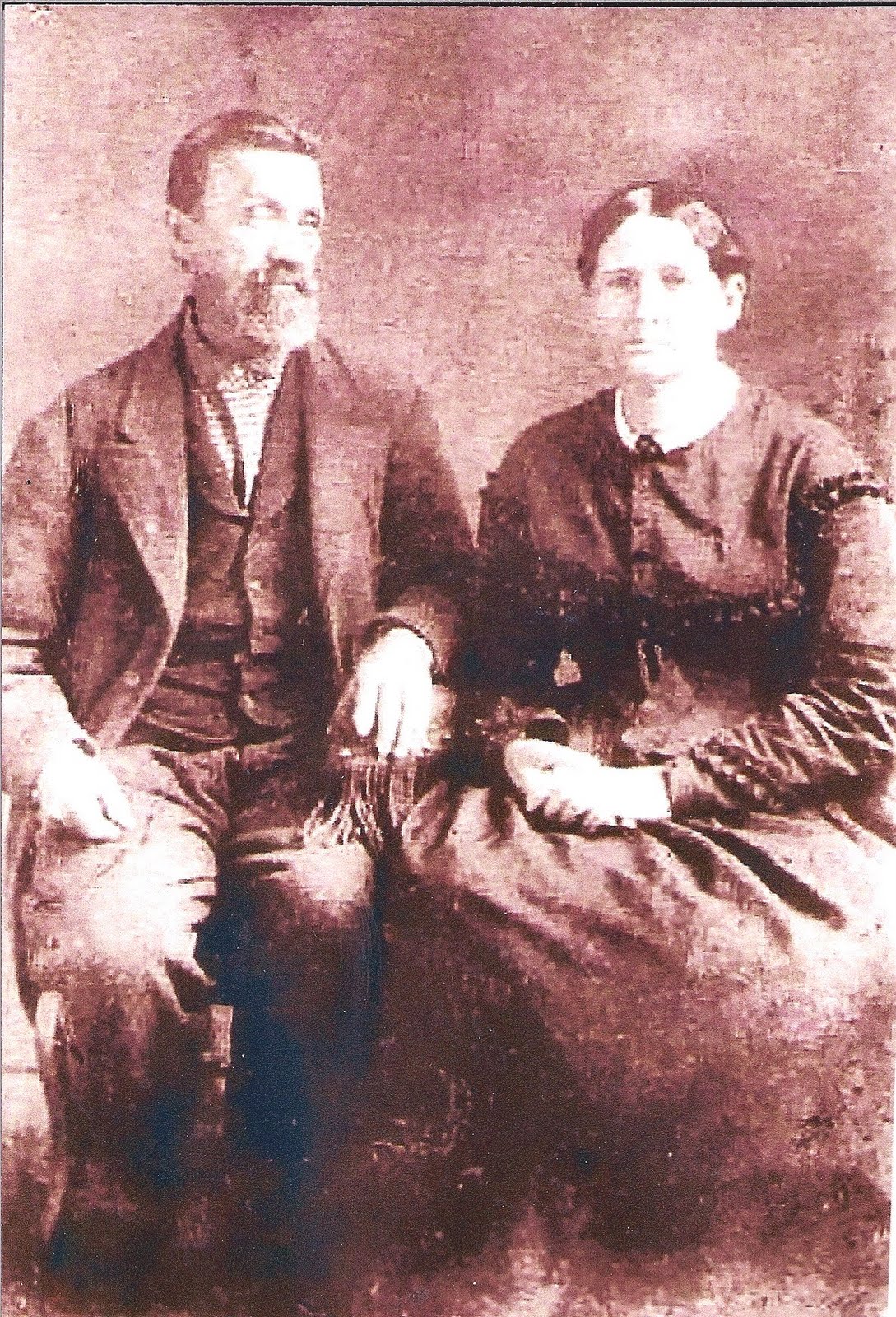
The exact site of the settlement is unknown. It lay on land owned by the prosperous cattleman Elisha Packwood. In the winter of 1861 - 1862, the station, Packwood's cattle and all his other property were swept away in the flood waters of the Great Flood of 1862. His once fertile land was buried in sand, making the vicinity worthless and the site unrecognizable. Losing all his net worth of $40,000 and nearly his life, Packwood moved to Oregon to attempt to rebuild his fortune. [2]
References
External links

|
| This Tulare County, California-related article is a stub. You can help Wikipedia by expanding it. |
|
| This California ghost town-related article is a stub. You can help Wikipedia by expanding it. |
- Former settlements in Tulare County, California
- Ghost towns in California
- Populated places established in 1857
- Butterfield Overland Mail in California
- 1857 establishments in California
- Stagecoach stations in California
- Transportation buildings and structures in Tulare County, California
- Tulare County, California geography stubs
- California ghost town stubs
Packwood Station was a settlement established in Tulare County in 1857, on the Stockton - Los Angeles Road. From 1858 to 1861, it was a stagecoach station on the Butterfield Overland Mail route, 12 miles southeast of Visalia and 14 miles north of Tule River Station. [1]
The exact site of the settlement is unknown. It lay on land owned by the prosperous cattleman Elisha Packwood. In the winter of 1861 - 1862, the station, Packwood's cattle and all his other property were swept away in the flood waters of the Great Flood of 1862. His once fertile land was buried in sand, making the vicinity worthless and the site unrecognizable. Losing all his net worth of $40,000 and nearly his life, Packwood moved to Oregon to attempt to rebuild his fortune. [2]
References
External links
|
| This Tulare County, California-related article is a stub. You can help Wikipedia by expanding it. |
|
| This California ghost town-related article is a stub. You can help Wikipedia by expanding it. |
- Former settlements in Tulare County, California
- Ghost towns in California
- Populated places established in 1857
- Butterfield Overland Mail in California
- 1857 establishments in California
- Stagecoach stations in California
- Transportation buildings and structures in Tulare County, California
- Tulare County, California geography stubs
- California ghost town stubs