Photos • Location
Bytča District


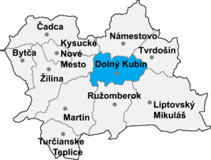
Oravská Poruba ( Hungarian: Poruba) is a village and municipality in Dolný Kubín District in the Zilina Region of northern Slovakia. It stands at 487 m (1598 ft) and has a population of 1089.
References
External links
Municipalities of
Dolný Kubín District | ||
|---|---|---|
49°11′40″N 19°16′00″E / 49.1944°N 19.2667°E
|
| This Žilina Region geography article is a stub. You can help Wikipedia by expanding it. |