Photos • Location

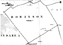
Robinson county in 1886

Nyngan Parish is a civil parish of Robinson County, [1] a cadastral division of New South Wales. [2] It is located on Yanda Creek and the Kidman Way north east of Cobar, New South Wales.
It is west of the town of Nyngan, New South Wales.
References
- ^ Map of the County of Robinson , (New South Wales. Department of Lands, 1942).
- ^ "Robinson". Geographical Names Register (GNR) of NSW. Geographical Names Board of New South Wales. Retrieved 4 August 2013.
31°24′57.0″S 145°59′00.0″E / 31.415833°S 145.983333°E