Photos • Location
You can help expand this article with text translated from
the corresponding article in French. (March 2017) Click [show] for important translation instructions.
|
Ngeremasch | |
|---|---|
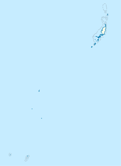
Location in
Palau | |
| Coordinates: 6° 54′ 5″ N, 134° 7′ 46″ E 06°54′05″N 134°07′46″E / 6.90139°N 134.12944°E | |
| Country | |
| Population (2009) | |
| • Total | 135 |
| Time zone | UTC+9 (Palau Standard Time) |
| Area code | (+680) 277 |
Ngeremasch, also spelled as Ngaramasch ( Japanese: ゲレマッシュ, Geremasshu) is a village in Palau, and the capital of the state of Angaur. In 2009, it had the population of 135 people.
Ngaramasch is located west of the Angaur Airstrip, there are also ferries that connect Angaur to Koror. The village was formerly known as Saipan Town ( Spanish: Pueblo de Saipán).
