Photos • Location

Minhla [1] is a town in Thayet District, Magway Region, of central Myanmar, on the right (west) bank of the Irrawaddy. [2] It is the administrative seat of Minhla Township.
Attractions
Notes
- ^ "Minhla (Approved)" Minhla, Magway at GEOnet Names Server, United States National Geospatial-Intelligence Agency
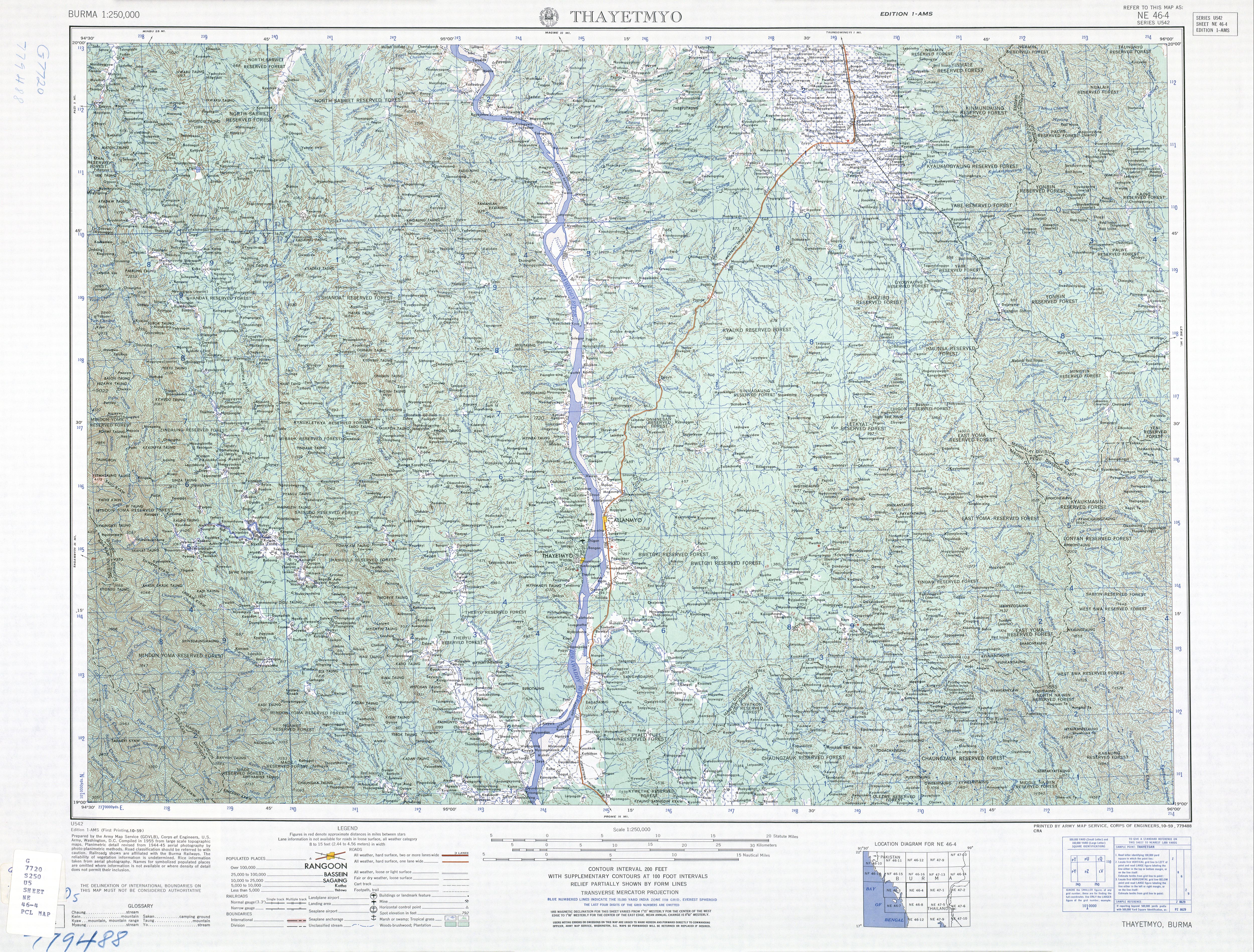
- ^ "Burma 1:250,000 topographic map, Series U542, NE 46-4 Thayetmyo" U.S. Army Map Service, October 1959
19°58′N 95°03′E / 19.967°N 95.050°E
Capital:
Magway | ||
| Gangaw District |   | |
| Magway District | ||
| Minbu District | ||
| Pakokku District | ||
| Thayet District | ||
| Main cities and towns | ||
|
| This Magway Region location article is a stub. You can help Wikipedia by expanding it. |
Minhla [1] is a town in Thayet District, Magway Region, of central Myanmar, on the right (west) bank of the Irrawaddy. [2] It is the administrative seat of Minhla Township.
Attractions
Notes
- ^ "Minhla (Approved)" Minhla, Magway at GEOnet Names Server, United States National Geospatial-Intelligence Agency
- ^ "Burma 1:250,000 topographic map, Series U542, NE 46-4 Thayetmyo" U.S. Army Map Service, October 1959
19°58′N 95°03′E / 19.967°N 95.050°E
Capital:
Magway | ||
| Gangaw District | | |
| Magway District | ||
| Minbu District | ||
| Pakokku District | ||
| Thayet District | ||
| Main cities and towns | ||
|
| This Magway Region location article is a stub. You can help Wikipedia by expanding it. |