Photos • Location
| Geography | |
|---|---|
| Coordinates | 55°35′24″N 10°36′50″E / 55.59000°N 10.61389°E |
| Archipelago | South Funen Archipelago |
| Area | 0.4 km2 (0.15 sq mi) |
| Administration | |
| Region | Region of Southern Denmark |
| Municipality | Kerteminde Municipality |
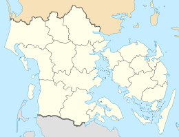
Mejlø is a small uninhabited Danish island located in the Kattegat. Mejlø covers an area of 0.4 km2, [1] and the highest point on the island is c. 9 m. [2]
References
- ^ "Mejlø. Ø-flora nr. 63" (PDF) (in Danish).
- ^ "Mejlø Vildtreservat" (PDF). mst.dk (in Danish).
