Photos • Location
Marakabei | |
|---|---|
| Coordinates: 29°32′S 28°09′E / 29.533°S 28.150°E | |
| Country |
|
| District: | Thaba-Tseka District |
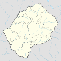
Marakabei is a town in central Lesotho. It is located southeast of the capital Maseru, close to the banks of the Senqunyane River, between the God Help Me Pass and Mokhoabong Pass.
References
- Fitzpatrick, M., Blond, B., Pitcher, G., Richmond, S., and Warren, M. (2004) South Africa, Lesotho and Swaziland. Footscray, VIC: Lonely Planet.
29°32′S 28°09′E / 29.533°S 28.150°E
