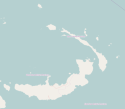
Photos • Location
Maliom | |
|---|---|
Village | |
| Coordinates: 4°38′41″S 153°0′47″E / 4.64472°S 153.01306°E | |
| Country | |
| Province | New Ireland Province |
| District | Namatanai District |
Maliom is a village on the south-eastern coast of New Ireland, Papua New Guinea. [1] The Aparam River flows into the sea to the north. It is located in Konoagil Rural LLG. [2]
References
- ^ Lipscomb, Adrian; McKinnon, Rowan; Murray, Jon (1998). Papua New Guinea. Lonely Planet. p. 342. Retrieved 31 December 2012.
- ^ United Nations in Papua New Guinea (2018). "Papua New Guinea Village Coordinates Lookup". Humanitarian Data Exchange. 1.31.9.
