Photos • Location
| Machupo River | |
|---|---|
| Location | |
| Country | Bolivia |
| Department | Beni Department |
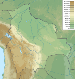
The Machupo River is a river in Beni Department, Bolivia, a tributary of the Amazon. It rises in the foothills of the Andes and flows east and northeast into the Guaporé River (Rio Itenez) just to the east of Forte Principe da Beira. [1]
- ^ Rio Machupo Quadrangle, 1:50,000 topographic map, 6756 IV (PDF) (1-IGM ed.), Instituto Geográfico Militar de Bolivia, archived from the original (PDF) on 7 February 2014, retrieved 7 February 2014
- "Photo: Sobre el Rio Machupo, Beni, Bolivia". Panoramio. Archived from the original on 22 February 2014. Retrieved 30 December 2016.
- "Photo: Rio Machupo, San Ramon". World Map Photo Videos. Archived from the original on 8 February 2014. Retrieved 8 February 2014.
12°27′12″S 64°22′39″W / 12.45333°S 64.37750°W
