Photos • Location
Lat Luang
ลัดหลวง | |
|---|---|
| Coordinates: 13°37′48″N 100°31′49″E / 13.63000°N 100.53028°E | |
| Country | Thailand |
| Province | Samut Prakan |
| District | Phra Pradaeng |
| Population (2014) | |
| • Total | 73,938 |
| Time zone | UTC+7 ( ICT) |
| Area code | (+66) 34 |
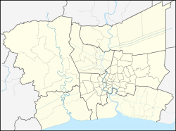
Lat Luang ( Thai: ลัดหลวง) is a town ( Thesaban Mueang) in the Phra Pradaeng District ( Amphoe) of Samut Prakan Province in the Bangkok Metropolitan Region of Central Thailand. In 2014, it had a total population of 73,938 people. [1]
- ^ "Population statistics 2014" (in Thai). Department of Provincial Administration. Retrieved 2019-04-26.
