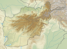
Photos • Location
| Koh-e Haji Kushtah | |
|---|---|
| ( Dari: کوه حاجی کشته) | |
| Highest point | |
| Elevation | 2,158 m (7,080 ft) |
| Parent peak | Hindu Kush |
| Coordinates | 35°41′41.6″N 67°49′51.1″E / 35.694889°N 67.830861°E |
| Geography | |
| Location | Samangan province, Afghanistan |
| Parent range | Hindu Kush |
Koh-e Haji Kushtah ( Dari: کوه حاجی کشته; mountain with aromatic pines) is a mountain of the Hindu Kush Range in Afghanistan. It is in Samangan province.

