Kikinda Airfield Drahslerov Salaš Airport Aerodrom Drahslerov Salaš Аеродром Драxслеров Салаш | |||||||||||
|---|---|---|---|---|---|---|---|---|---|---|---|
| Summary | |||||||||||
| Airport type | Civil | ||||||||||
| Location | Kikinda | ||||||||||
| Elevation AMSL | 266 ft / 81 m | ||||||||||
| Coordinates | 45°46′01″N 20°25′11″E / 45.76694°N 20.41972°E | ||||||||||
| Map | |||||||||||
| Runways | |||||||||||
| |||||||||||
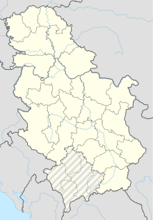
Kikinda Airfield ( Serbian: Aerodrom Kikinda or Aerodrom Drahslerov Salaš, Аеродром Кикинда or Аеродром Драxслеров Салаш) is a recreational airfield in Serbia, situated in the vicinity of the northern town of Kikinda (9 kilometres south-west from the town centre), close to the Subotica- Novi Sad route.
It is used mainly for sports flights of aircraft, gliders; helicopter flights and parachute jumps.
