Photos • Location
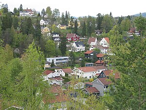
A view of lower Jar


Jar, Norway | |
|---|---|
Village | |
| Country | Norway |
| Region | Østlandet |
| County | Akershus |
| Time zone | UTC+01:00 ( CET) |
| • Summer ( DST) | UTC+02:00 ( CEST) |
Jar is a district in the municipality of Bærum, Norway. Its population (2007) is 4,868. [1]
It is served by the Jar rail station on the Kolsås Line.
References
- ^ Population of districts in Bærum Archived 2009-03-26 at the Wayback Machine – Bærum municipality
59°55′N 10°37′E / 59.917°N 10.617°E
|
| This Akershus location article is a stub. You can help Wikipedia by expanding it. |