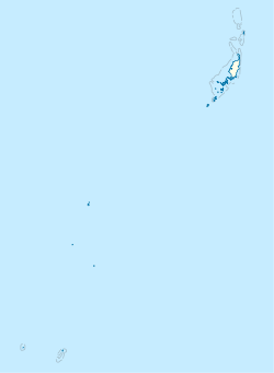
Photos • Location
Imetang | |
|---|---|
Village | |
| Coordinates: 7°42′2″N 134°38′24″E / 7.70056°N 134.64000°E | |
| Country | Palau |
| State | Ngarchelong |
| Area | |
| • Total | 1.41 km2 (0.54 sq mi) |
| Elevation | 9 m (30 ft) |
Imetang is a village in Ngarchelong, Palau. It falls into the definition of a linear settlement as it is based along a roughly linear road, although it is not entirely straight. It contains the Ngarchelong Evangelical Church, the sole church in Ngarchelong. [1] [2]
References
- ^ "Google Earth". earth.google.com. Retrieved 2020-09-21.
- ^ "River in Imetang - Palau Forum - Tripadvisor". www.tripadvisor.com. Retrieved 2020-10-03.
