Greemakolo | |
|---|---|
Village | |
 Greemakolo Location of the town in the
Bird's Head Peninsula | |
| Coordinates: 1°14′0″S 132°10′0″E / 1.23333°S 132.16667°E | |
| Country | Indonesia |
| Province | Southwest Papua |
| Regency | Sorong Regency |
| Time zone | UTC+7 ( WIB) |
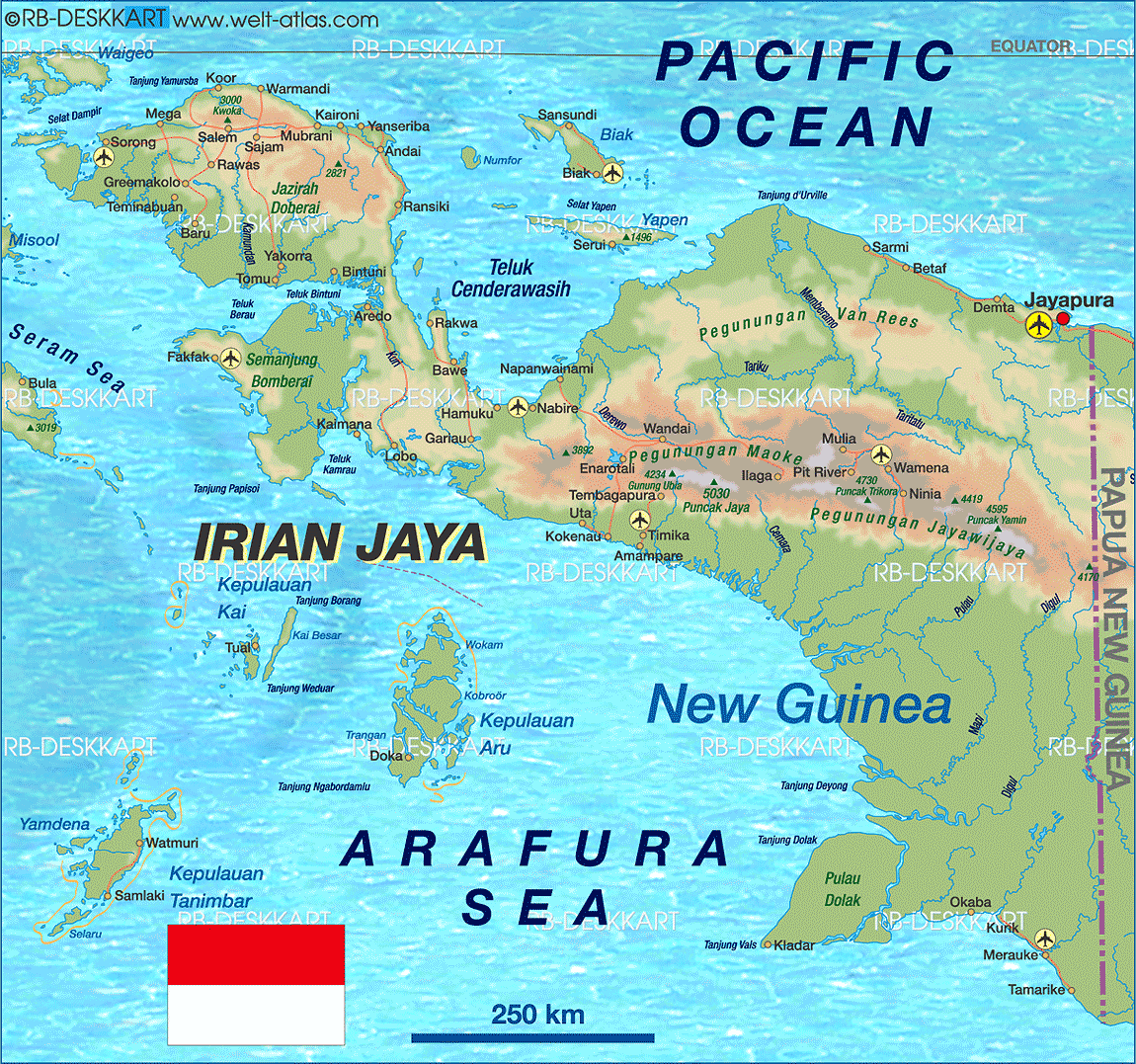
Greemakolo is a village in Southwest Papua, Indonesia. The village is located in the southwestern-central part of the Bird's Head Peninsula, northeast of Teminabuan. [1] A dirt road connects it to Rawas in the northeast. The village is also close to a group of lakes called the Ayamaru Lakes.
References
|
| This Southwest Papua location article is a stub. You can help Wikipedia by expanding it. |
Greemakolo | |
|---|---|
Village | |
Greemakolo Location of the town in the
Bird's Head Peninsula | |
| Coordinates: 1°14′0″S 132°10′0″E / 1.23333°S 132.16667°E | |
| Country | Indonesia |
| Province | Southwest Papua |
| Regency | Sorong Regency |
| Time zone | UTC+7 ( WIB) |
Greemakolo is a village in Southwest Papua, Indonesia. The village is located in the southwestern-central part of the Bird's Head Peninsula, northeast of Teminabuan. [1] A dirt road connects it to Rawas in the northeast. The village is also close to a group of lakes called the Ayamaru Lakes.
References
|
| This Southwest Papua location article is a stub. You can help Wikipedia by expanding it. |