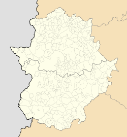
Photos • Location
Garlitos | |
|---|---|
municipality | |
| Coordinates: 38°52′48″N 5°2′53″W / 38.88000°N 5.04806°W | |
| Country | Spain |
| Autonomous community | Extremadura |
| Province | Badajoz |
| Municipality | Garlitos |
| Area | |
| • Total | 129 km2 (50 sq mi) |
| Elevation | 554 m (1,818 ft) |
| Population (2018)
[1] | |
| • Total | 599 |
| • Density | 4.6/km2 (12/sq mi) |
| Time zone | UTC+1 ( CET) |
| • Summer ( DST) | UTC+2 ( CEST) |
Garlitos is a municipality located in the province of Badajoz, Extremadura, Spain. As of 2018, the municipality has a population of 599 inhabitants.
- ^ Municipal Register of Spain 2018. National Statistics Institute.

