Photos • Location

Gökbahçe | |
|---|---|
 Gökbahçe Location in Turkey  Gökbahçe Gökbahçe (Turkey Central Anatolia) | |
| Coordinates: 39°09′27″N 30°35′33″E / 39.1576°N 30.5924°E | |
| Country | Turkey |
| Province | Eskişehir |
| District | Seyitgazi |
| Population (2022) | 389 |
| Time zone | UTC+3 ( TRT) |
| Postal code | 26950 |
| Area code | 0222 |
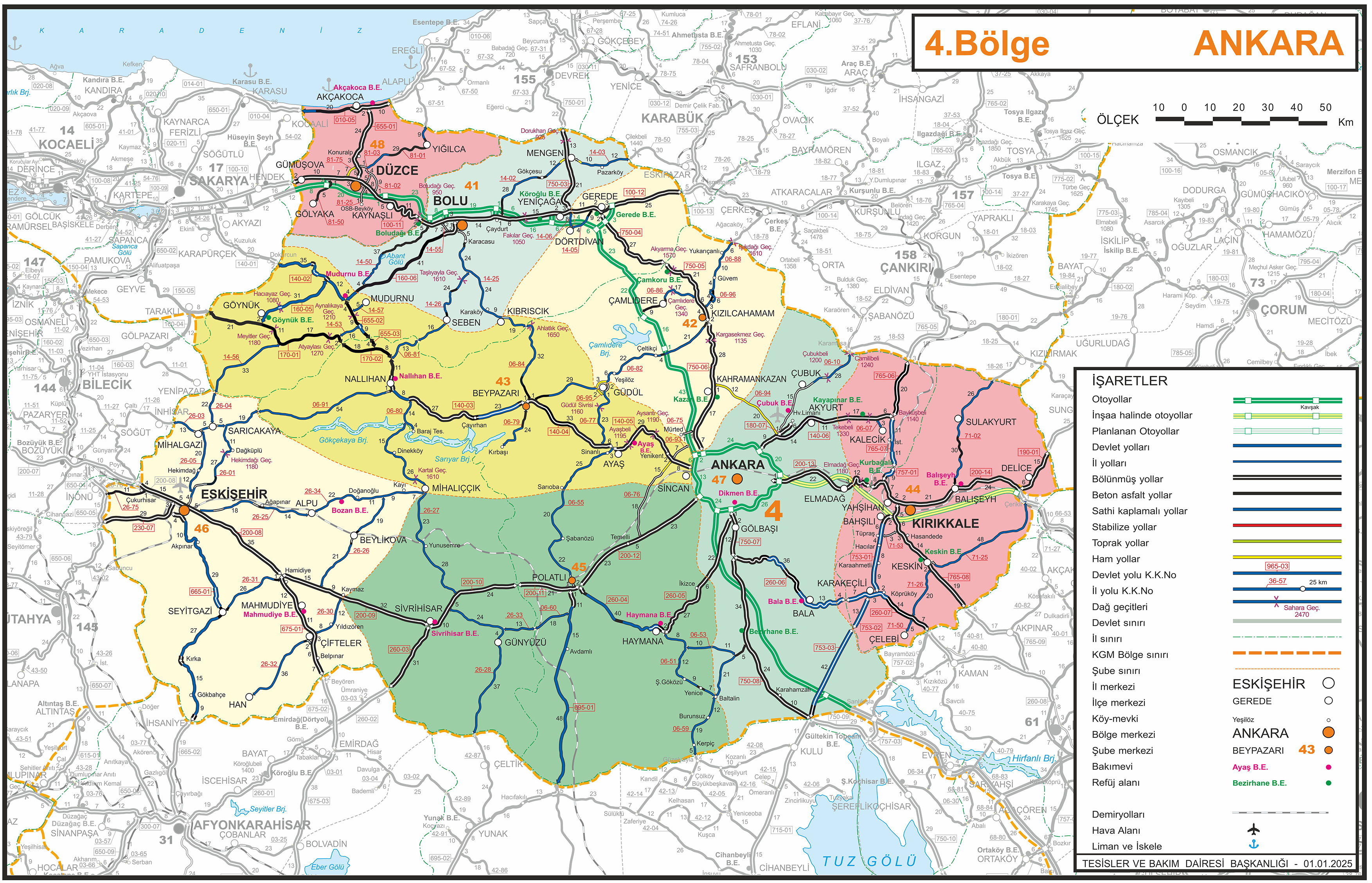
Gökbahçe is a neighbourhood of the municipality and district of Seyitgazi, Eskişehir Province, Turkey. [1] Its population is 389 (2022). [2] It is 85 km (53 mi) far from Eskişehir and 42 km (26 mi) from Seyitgazi on the Eskişehir-Afyonkarahisar highway D.665. [3]
| Year | Pop. | ±% p.a. |
|---|---|---|
| 2007 | 441 | — |
| 2012 | 445 | +0.18% |
| 2017 | 412 | −1.53% |
| 2022 | 389 | −1.14% |
| Source: TÜIK (2007-2022) [2] | ||
Gökbahçe | |
|---|---|
Gökbahçe Location in Turkey Gökbahçe Gökbahçe (Turkey Central Anatolia) | |
| Coordinates: 39°09′27″N 30°35′33″E / 39.1576°N 30.5924°E | |
| Country | Turkey |
| Province | Eskişehir |
| District | Seyitgazi |
| Population (2022) | 389 |
| Time zone | UTC+3 ( TRT) |
| Postal code | 26950 |
| Area code | 0222 |
Gökbahçe is a neighbourhood of the municipality and district of Seyitgazi, Eskişehir Province, Turkey. [1] Its population is 389 (2022). [2] It is 85 km (53 mi) far from Eskişehir and 42 km (26 mi) from Seyitgazi on the Eskişehir-Afyonkarahisar highway D.665. [3]
| Year | Pop. | ±% p.a. |
|---|---|---|
| 2007 | 441 | — |
| 2012 | 445 | +0.18% |
| 2017 | 412 | −1.53% |
| 2022 | 389 | −1.14% |
| Source: TÜIK (2007-2022) [2] | ||