Photos • Location
Fort McPherson Water Aerodrome | |||||||||||
|---|---|---|---|---|---|---|---|---|---|---|---|
| Summary | |||||||||||
| Airport type | |||||||||||
| Operator | |||||||||||
| Location | Fort McPherson, Northwest Territories | ||||||||||
| Time zone | MST ( UTC−07:00) | ||||||||||
| • Summer ( DST) | MDT ( UTC−06:00) | ||||||||||
| Elevation AMSL | 40 ft / 12 m | ||||||||||
| Coordinates | 67°27′N 134°53′W / 67.450°N 134.883°W | ||||||||||
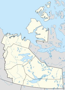
| Map | |||||||||||
| Runways | |||||||||||
| |||||||||||
Source:
Water Aerodrome Supplement
[1] | |||||||||||
Fort McPherson Water Aerodrome (
TC
LID: CEU7) was located adjacent to
Fort McPherson,
Northwest Territories,
Canada on the
Peel River. The airport was listed as abandoned in the 15 March 2007 Canada Flight Supplement.
- ^ Nav Canada's Water Aerodrome Supplement. Effective 0901 Z 26 March 2020 to 0901Z 22 April 2021.
